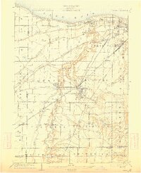
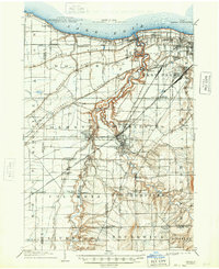
1904 Map of Berea
USGS Topo · Published 1912About this map
The Rocky River carves a deep, winding canyon through the landscape west of Cleveland, anchoring a region defined by its ancient glacial beach ridges. North Ridge, Middle Ridge, and Butternut Ridge run parallel to the Lake Erie shoreline, serving as the historical foundations for early roads and settlements. This early twentieth-century survey reveals a transition from the developing suburban street grids of Lakewood and West Park to the established mill and rail towns of the interior.
Find a feature on this map
72 named features on this map. Tap any name to fly to it.
Don’t see what you’re looking for? This feature index may not catch every label — zoom into the map to look around manually.
Map Details
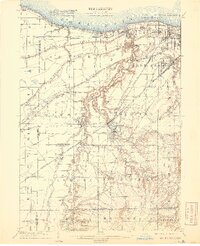
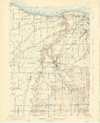
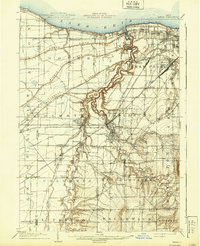
Editions of this 1904 Berea Map
7 editions found

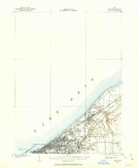
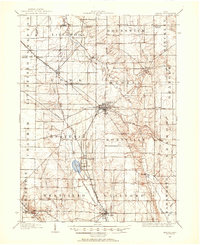
Other maps of this area

1901 · Oberlin
USGS Topo · 1:62,500
1901 · Euclid
USGS Topo · 1:62,500

1902 · Berea
USGS Topo · 1:62,500

1903 · Cleveland
USGS Topo · 1:62,500
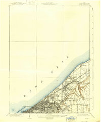
1903 · Euclid
USGS Topo · 1:62,500

1903 · Oberlin
USGS Topo · 1:62,500

1903 · Akron
USGS Topo · 1:62,500

1904 · Berea
USGS Topo · 1:62,500
1904 · Medina
USGS Topo · 1:62,500

1904 · Wellington
USGS Topo · 1:62,500