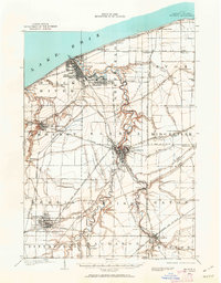
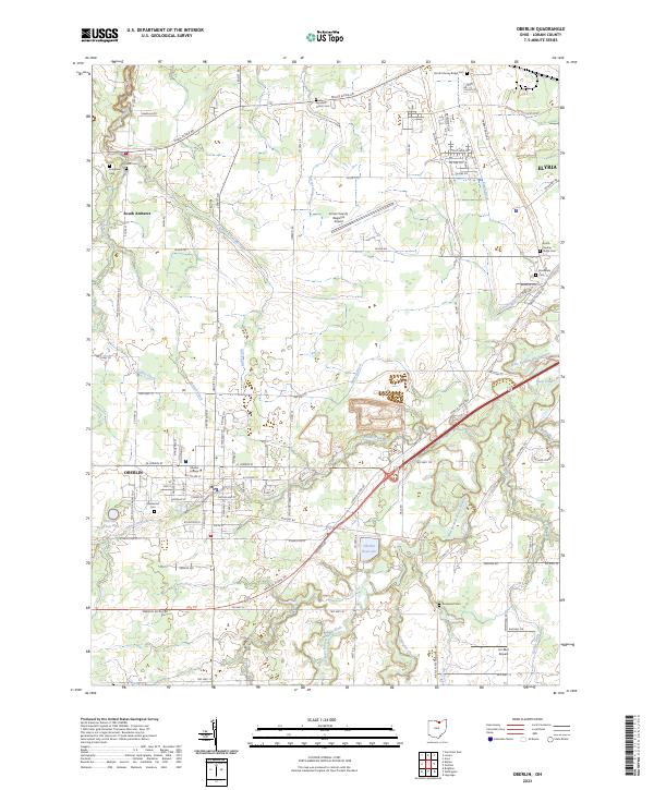
1903 Map of Oberlin
USGS Topo · Published 1943About this map
The industrial and transportation network of Lorain County at the turn of the century is defined by the convergence of major rail lines and the winding course of the Black River. Near the shoreline of Lake Erie, the burgeoning port of Lorain is linked to the county seat of Elyria and the collegiate center of Oberlin by a complex web of electric and steam railways. The landscape is marked by numerous Quarry sites around North Amherst and Grafton, signaling the era's heavy reliance on local stone for building and infrastructure. Distinctive ridges, such as Murray Ridge and Chestnut Ridge, rise above the river valleys, guiding the development of early settlements like Laporte and Shawville. Smaller hamlets and stops, including Nickelplate, Crandall, and Randall Grove, illustrate the dense rural settlement pattern before the dominance of the automobile, when life was oriented toward the nearest depot or creek.
Find a feature on this map
61 named features on this map. Tap any name to fly to it.
Don’t see what you’re looking for? This feature index may not catch every label — zoom into the map to look around manually.
Map Details
Editions of this 1903 Oberlin Map
This is the sole edition of this map. No revisions or reprints were ever made.
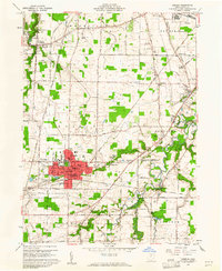
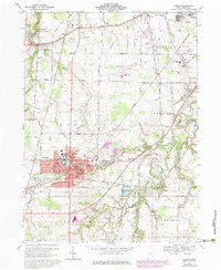
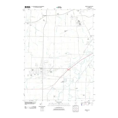
Historical Maps of Lorain Through Time
9 maps found