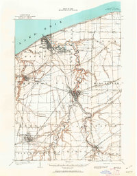
1901 Map of Oberlin
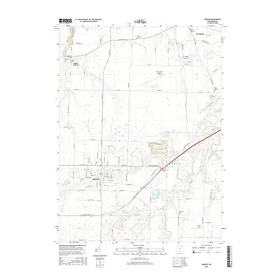
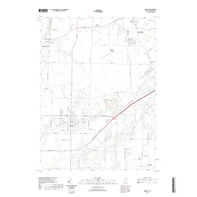
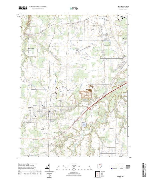
USGS Topo · Published 1962About this map
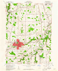
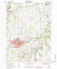
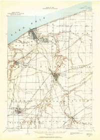
Industrial and academic centers define this early-century landscape along the southern shore of Lake Erie. The burgeoning steel and shipping hub of Lorain is shown in detail, including the residential and industrial layout of South Lorain and the shoreline developments at Randall Grove and Beaver Park. In the interior, Oberlin and its college grounds are clearly mapped, while Elyria serves as a central rail junction where the L. S. and M. S. R. R. and several electric lines meet. The prevalence of interurban transit is remarkable, with the Lake Shore Electric R. R. and Cleveland and Elyria Electric R. R. connecting rural townships. Significant sandstone Quarry operations are marked near North Amherst and Grafton, reflecting the importance of local stone to the regional economy alongside agricultural settlements like Avon Center and Nickelplate.
Find a feature on this map
67 named features on this map. Tap any name to fly to it.
Don’t see what you’re looking for? This feature index may not catch every label — zoom into the map to look around manually.
Map Details
Editions of this 1901 Oberlin Map
3 editions found

Historical Maps of Lorain Through Time
9 maps found