Loading...
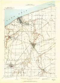
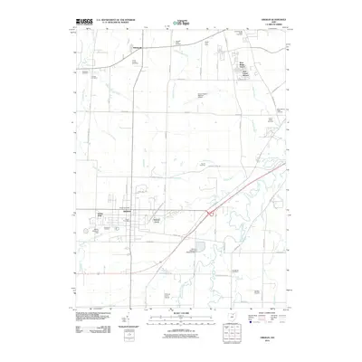
Loading map...1901 Map of Oberlin
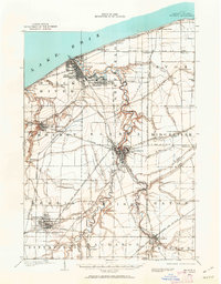
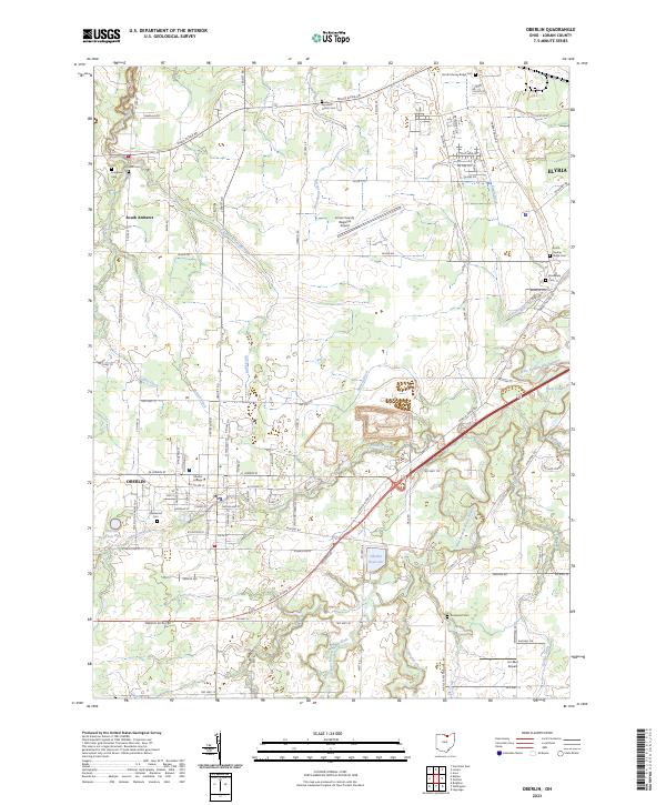
USGS Topo · Published 1959About this map
Industrial expansion and lakefront development define this early twentieth-century study of Lorain County. Along the Lake Erie shoreline, the steel and shipping interests at Lorain and South Lorain are already established, supported by a dense network of steam and electric lines. The Black River carves a winding path from Elyria northward, surrounded by a series of prominent geological ridges including North Ridge, Middle Ridge, and Butternut Ridge that historically dictated the placement of roads and early farmsteads.
Find a feature on this map
60 named features on this map. Tap any name to fly to it.
Don’t see what you’re looking for? This feature index may not catch every label — zoom into the map to look around manually.
Map Details
Date Portrayed1901
Date Published1959
PublisherU.S. Geological Survey
Map TypeTopographic
Scale1:62,500
Physical Dimensions15.6 x 21.8 inches
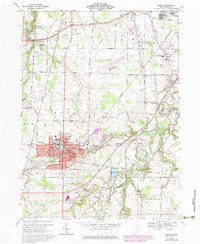
Editions of this 1901 Oberlin Map
3 editions found

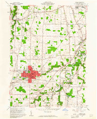
Historical Maps of Lorain Through Time
9 maps found

Featured Locations
Source Details
SourceU.S. Geological Survey
CopyrightPublic Domain