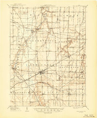
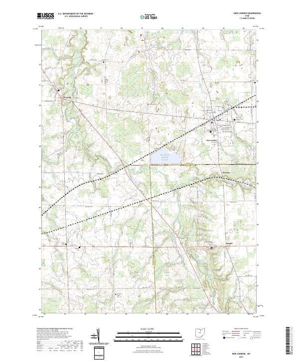
1908 Map of New London
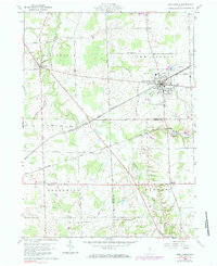
USGS Topo · Published 1948About this map
The Vermilion River and its numerous tributaries, including Indian Creek and Buck Creek, carve through this section of north-central Ohio at the opening of the twentieth century. This area is defined by its robust railroad infrastructure, with the Cleveland Cincinnati Chicago and St Louis and the Northern Ohio lines converging at New London. These rails were the lifeblood of the local economy, connecting smaller agricultural centers like Rochester Station and Hartland Station to larger regional markets.
Find a feature on this map
56 named features on this map. Tap any name to fly to it.
Don’t see what you’re looking for? This feature index may not catch every label — zoom into the map to look around manually.
Map Details
Editions of this 1908 New London Map
This is the sole edition of this map. No revisions or reprints were ever made.
Historical Maps of Wellington Through Time
7 maps found
Featured Locations
- Wellington, OH
- Fitchville, Fitchville Township
- New London, New London Township
- Clarksfield, Clarksfield Township
- Ruggles, Ruggles Township