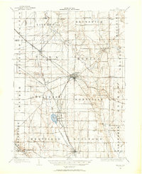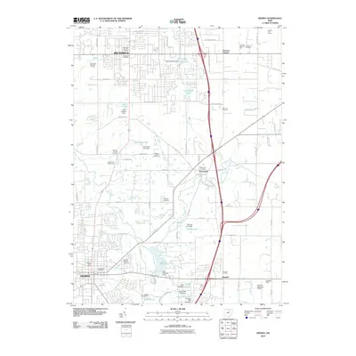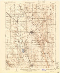
1906 Map of Medina
USGS Topo · Published 1941About this map
The county seat of Medina serves as the central hub for this early twentieth-century survey, revealing a landscape defined by an intricate network of early railroads and electric lines. The Cleveland Southwestern and Columbus Electric RR cuts a path through the heart of the county, connecting smaller villages like Abbeyville and Lafayette with the larger regional centers. To the south, Chippewa Lake stands out as a prominent natural feature, its waters feeding into the Chippewa Ditch and the Chippewa Creek drainage system.
Find a feature on this map
58 named features on this map. Tap any name to fly to it.
Don’t see what you’re looking for? This feature index may not catch every label — zoom into the map to look around manually.
Map Details
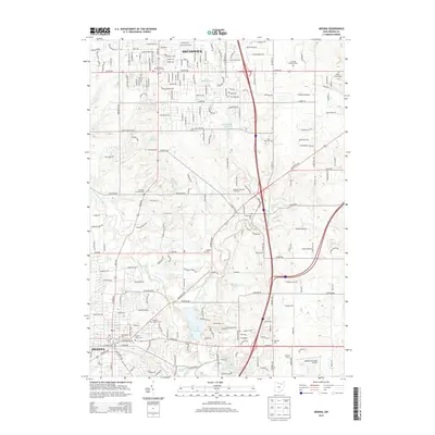
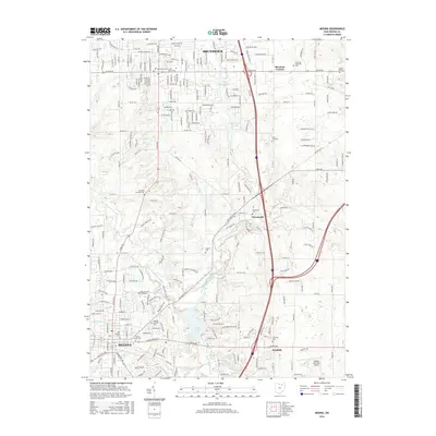
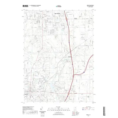
Editions of this 1906 Medina Map
This is the sole edition of this map. No revisions or reprints were ever made.
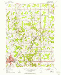
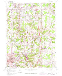
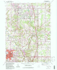
Historical Maps of Brunswick Through Time
10 maps found