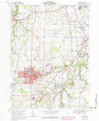
1969 Map of Oberlin
USGS Topo · Published 1979About this map
Oberlin College and the surrounding academic district anchor this 1960s landscape, reflecting a period of mid-century expansion in Lorain County. The street grid of Oberlin is clearly defined, featuring local landmarks like Memorial Hospital and the Westwood Cemetery. Beyond the campus, the terrain is shaped by the winding course of Plum Creek and the Oberlin Reservoir, which provide a contrast to the industrial and agricultural corridors of the Amherst and Russia townships.
Find a feature on this map
79 named features on this map. Tap any name to fly to it.
Don’t see what you’re looking for? This feature index may not catch every label — zoom into the map to look around manually.
Map Details
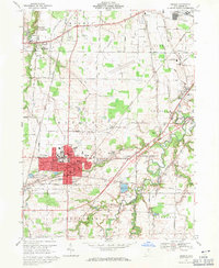
Editions of this 1969 Oberlin Map
2 editions found
Other maps of this area

1901 · Oberlin
USGS Topo · 1:62,500

1903 · Vermilion
USGS Topo · 1:62,500

1903 · Oberlin
USGS Topo · 1:62,500

1904 · Wellington
USGS Topo · 1:62,500

1906 · Wellington
USGS Topo · 1:62,500

1908 · New London
USGS Topo · 1:62,500

1953 · Grafton
USGS Topo · 1:24,000

1953 · Avon
USGS Topo · 1:24,000

1956 · Toledo
USGS Topo · 1:250,000

1959 · Vermilion East
USGS Topo · 1:24,000