
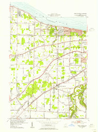
1953 Map of Avon
USGS Topo · Published 1955About this map
Lake Erie shorelines and the emerging suburban landscape of Lorain County are meticulously detailed in this mid-1950s survey. The map highlights the distinct geological features of North Ridge and Middle Ridge, which historically dictated the paths of major thoroughfares like Detroit Road and Center Ridge Road. The industrial and residential growth of Avon Lake and Sheffield Lake is evident, while the interior remains dotted with community anchors like St Teresa Ch and St Teresa Cem.
Find a feature on this map
51 named features on this map. Tap any name to fly to it.
Don’t see what you’re looking for? This feature index may not catch every label — zoom into the map to look around manually.
Map Details
Editions of this 1953 Avon Map
This is the sole edition of this map. No revisions or reprints were ever made.
Other maps of this area

1901 · Oberlin
USGS Topo · 1:62,500

1902 · Berea
USGS Topo · 1:62,500

1903 · Oberlin
USGS Topo · 1:62,500

1904 · Berea
USGS Topo · 1:62,500

1950 · Cleveland
USGS Topo · 1:250,000

1953 · West View
USGS Topo · 1:24,000

1953 · Grafton
USGS Topo · 1:24,000
1953 · North Olmsted
USGS Topo · 1:24,000

1956 · Cleveland
USGS Topo · 1:250,000

1956 · Toledo
USGS Topo · 1:250,000