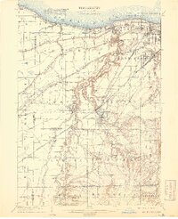
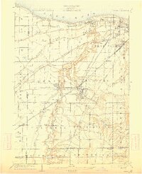
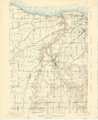
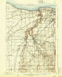
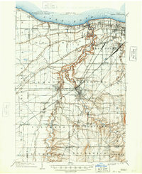
1904 Map of Berea
USGS Topo · Published 1920About this map
Lake Erie shores and the winding course of the Rocky River define this early twentieth-century portrait of suburban Cleveland and its rural outskirts. The landscape is dominated by a complex network of transportation, where the Lake Shore and Michigan Southern R. R. and the New York Chicago and St. Louis R. R. parallel the lakefront. Further inland, the Cleveland Southwestern and Columbus Electric R. R. weaves through growing communities like Olmsted Falls and Berea.
Find a feature on this map
73 named features on this map. Tap any name to fly to it.
Don’t see what you’re looking for? This feature index may not catch every label — zoom into the map to look around manually.
Map Details
Editions of this 1904 Berea Map
7 editions found

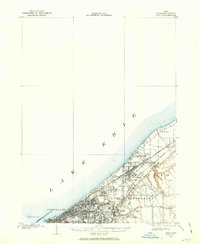
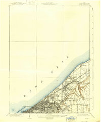
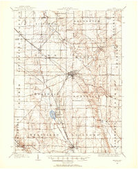
Other maps of this area

1901 · Oberlin
USGS Topo · 1:62,500
1901 · Euclid
USGS Topo · 1:62,500

1902 · Berea
USGS Topo · 1:62,500

1903 · Cleveland
USGS Topo · 1:62,500
1903 · Euclid
USGS Topo · 1:62,500

1903 · Oberlin
USGS Topo · 1:62,500

1903 · Akron
USGS Topo · 1:62,500

1904 · Berea
USGS Topo · 1:62,500
1904 · Medina
USGS Topo · 1:62,500

1904 · Wellington
USGS Topo · 1:62,500