
Loading...
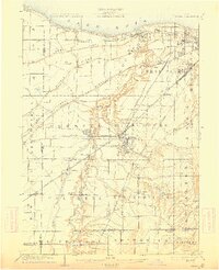
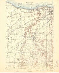
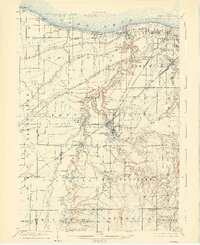
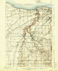
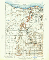
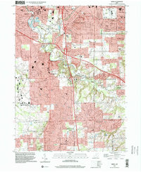
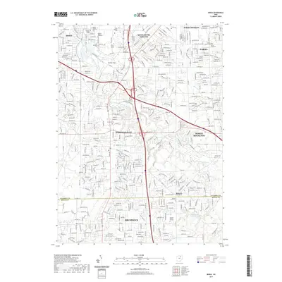
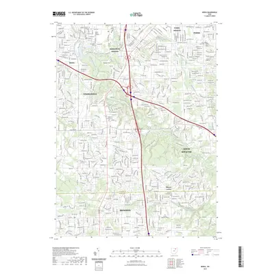
Loading map...1904 Map of Berea
USGS Topo · Published 1934About this map
The confluence of the East Branch Rocky River and West Branch Rocky River at Berea forms the heart of this early 20th-century landscape. This industrial and transit hub is defined by a dense web of transportation, including the Lake Shore and Michigan Southern RR and multiple electric lines like the Elyria and Olmsted Electric Ry. To the north, the shoreline of Lake Erie features growing suburbs such as Lakewood and the lakeside enclave of Clifton Park.
Find a feature on this map
76 named features on this map. Tap any name to fly to it.
Don’t see what you’re looking for? This feature index may not catch every label — zoom into the map to look around manually.
Map Details
Date Portrayed1904
Date Published1934
PublisherU.S. Geological Survey
Map TypeTopographic
Scale1:62,500
Physical Dimensions16.5 x 20.2 inches
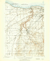
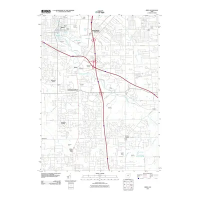
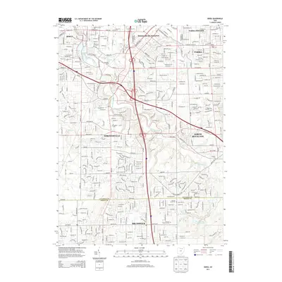
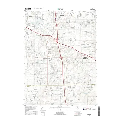
Editions of this 1904 Berea Map
7 editions found

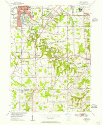
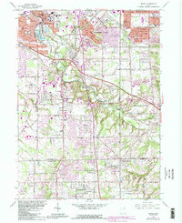
Historical Maps of Cleveland Through Time
10 maps found
Featured Locations
Source Details
SourceU.S. Geological Survey
CopyrightPublic Domain