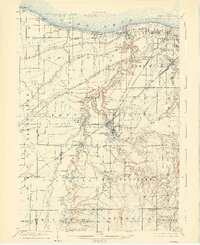
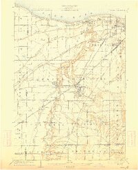
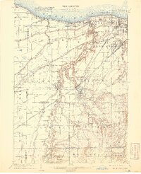
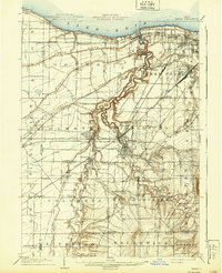
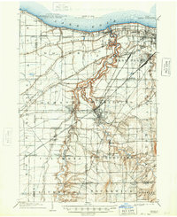
1904 Map of Berea
USGS Topo · Published 1926About this map
Lake Erie defines the northern reaches of this territory, where early 20th-century coastal communities like Eagle Cliff and Clifton Park occupy the shoreline west of Lakewood. The landscape is dominated by the dramatic winding course of the Rocky River and its East Branch, which carve deep through the terrain toward the lake. This topography dictated the placement of early settlements and the complex rail network required to bridge these ravines.
Find a feature on this map
75 named features on this map. Tap any name to fly to it.
Don’t see what you’re looking for? This feature index may not catch every label — zoom into the map to look around manually.
Map Details
Editions of this 1904 Berea Map
7 editions found

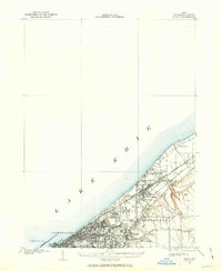
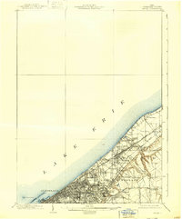
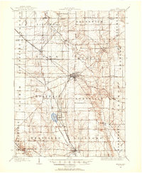
Other maps of this area

1901 · Oberlin
USGS Topo · 1:62,500
1901 · Euclid
USGS Topo · 1:62,500

1902 · Berea
USGS Topo · 1:62,500

1903 · Cleveland
USGS Topo · 1:62,500
1903 · Euclid
USGS Topo · 1:62,500

1903 · Oberlin
USGS Topo · 1:62,500

1903 · Akron
USGS Topo · 1:62,500

1904 · Berea
USGS Topo · 1:62,500
1904 · Medina
USGS Topo · 1:62,500

1904 · Wellington
USGS Topo · 1:62,500