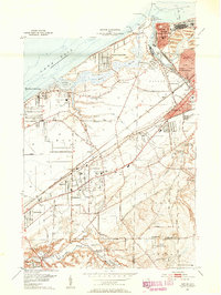
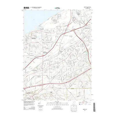
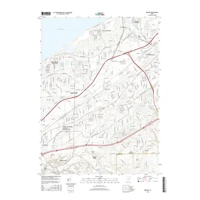
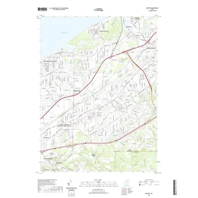
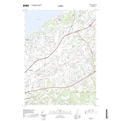
1905 Map of Mentor
USGS Topo · Published 1961About this map
Lake Erie defines the northern reaches of this Lake County landscape, where the Grand River and Chagrin River carve their paths toward the shore. At the turn of the century, the region was a bustling intersection of maritime and rail commerce, centered on Richmond and the Grand River P.O.. The map reveals an intricate network of early electric transit, with lines like the Lake Shore Electric RR and the Cleveland and Eastern Electric RR connecting coastal settlements to inland townships.
Find a feature on this map
64 named features on this map. Tap any name to fly to it.
Don’t see what you’re looking for? This feature index may not catch every label — zoom into the map to look around manually.
Map Details
Editions of this 1905 Mentor Map
This is the sole edition of this map. No revisions or reprints were ever made.
Historical Maps of Euclid Through Time
10 maps found