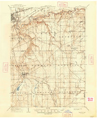
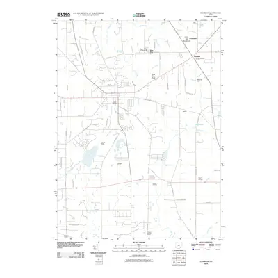
1904 Map of Chardon
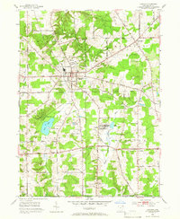
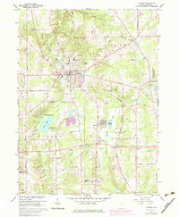
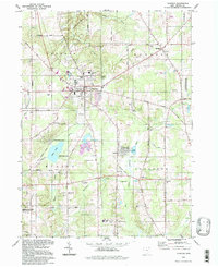
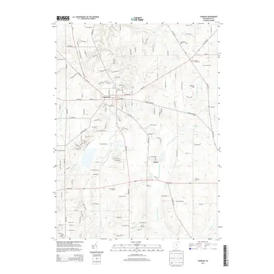
USGS Topo · Published 1962About this map
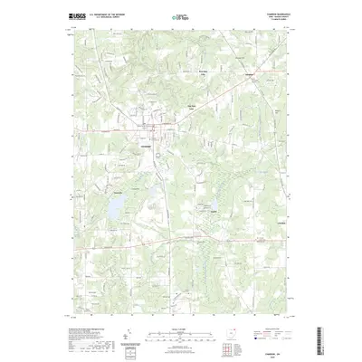
The Grand River carves a dramatic valley across the northern portion of this landscape, creating a sharp topographical contrast with the relatively level plains near Painesville. Surveyed in 1904, the map documents a critical period in Northeast Ohio transportation, showing the dense rail network that connected these communities, including the Baltimore and Ohio RR and the Cleveland and Chardon Electric RR. Further south, the town of Chardon serves as a central hub for the surrounding agricultural townships of Munson and Hambden. Notable water features such as Bass Lake and Lake Aquilla appear alongside smaller settlements like Claridon and Huntsburg. The presence of an Infirmary south of Painesville and multiple sites marked Cem provides specific points of interest for genealogists tracing early twentieth-century local history and institutional development in Geauga and Lake Counties.
Find a feature on this map
58 named features on this map. Tap any name to fly to it.
Don’t see what you’re looking for? This feature index may not catch every label — zoom into the map to look around manually.
Map Details
Editions of this 1904 Chardon Map
This is the sole edition of this map. No revisions or reprints were ever made.
Historical Maps of Painesville Through Time
10 maps found