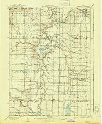
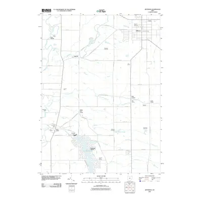
1907 Map of Jefferson
USGS Topo · Published 1943About this map
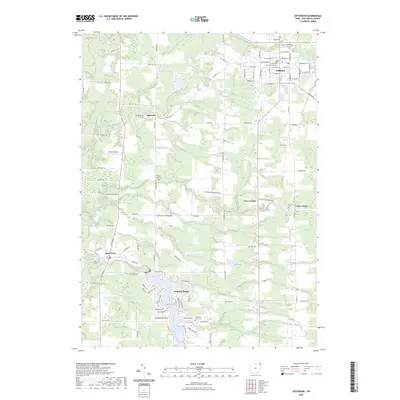
Jefferson serves as the focal point of this early 20th-century survey of Ashtabula County, surrounded by a dense network of township boundaries including Hartsgrove, Rome, and Orwell. The landscape is defined by the winding course of Rock Creek and its tributaries, which supported a scatter of small agricultural and milling communities such as Windsor Mills and Eagleville. The Pennsylvania System railroad provides the primary north-south corridor, with specialized stops like Rock Creek Station and New Lyme Station serving the rural interior.
Find a feature on this map
49 named features on this map. Tap any name to fly to it.
Don’t see what you’re looking for? This feature index may not catch every label — zoom into the map to look around manually.
Map Details
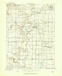
Editions of this 1907 Jefferson Map
This is the sole edition of this map. No revisions or reprints were ever made.
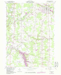
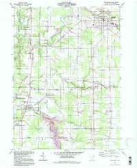
Historical Maps of Mesopotamia Township Through Time
9 maps found
1905 Jefferson
Ashtabula County, OH
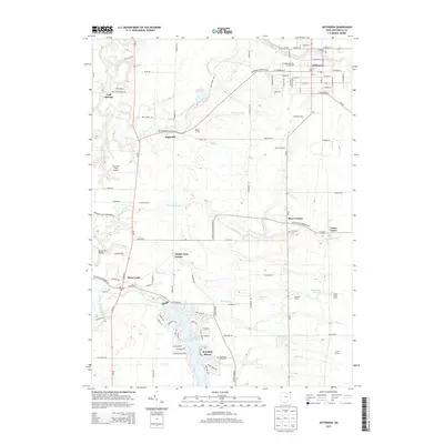
1907 Jefferson
Ashtabula County, OH
1960 Jefferson
Ashtabula County, OH
1994 Jefferson
Ashtabula County, OH
2010 Jefferson
Ashtabula County, OH
2013 Jefferson
Ashtabula County, OH
2016 Jefferson
Ashtabula County, OH
2019 Jefferson
Ashtabula County, OH
2023 Jefferson
Ashtabula County, OH