
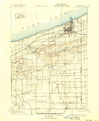
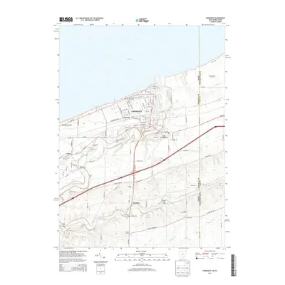
1906 Map of Conneaut
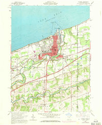
USGS Topo · Published 1943About this map
The industrial shoreline of Conneaut serves as a major logistical hub where the Lake Shore and Michigan Southern RR and the Bessemer and Lake Erie RR converge at the Lake Erie docks. Surveyed just after the turn of the century, the map reveals a landscape defined by deep ravines carved by Conneaut Creek as it winds toward the harbor. While the lakefront is busy with rail yards and shipping, the interior of Ashtabula County remains a grid of rural townships like Monroe and Sheffield. Small hamlets such as Kelloggsville and Monroe Center anchor the farming community, while the New York Central and Hudson River RR (Low Grade Cutoff) cuts across the southern townships. This survey captures the region when small settlements like Bulah, Shipp, and Gould were still active stops along the developing transportation corridors of Northeast Ohio.
Find a feature on this map
48 named features on this map. Tap any name to fly to it.
Don’t see what you’re looking for? This feature index may not catch every label — zoom into the map to look around manually.
Map Details
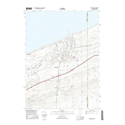
Editions of this 1906 Conneaut Map
2 editions found
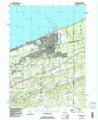
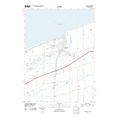
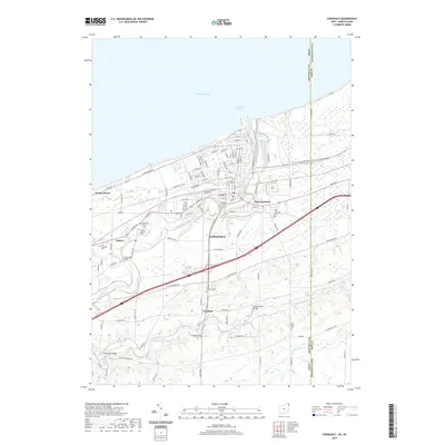
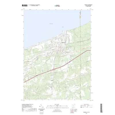
Historical Maps of Conneaut Through Time
8 maps found
Featured Locations
- Conneaut, OH
- Jefferson Township, OH
- North Kingsville, OH
- Kingsville, Kingsville Township
- Plymouth, Plymouth Township