
1900 Map of Fairview
USGS Topo · Published 1900About this map
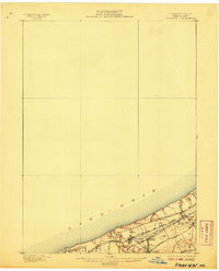
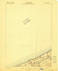
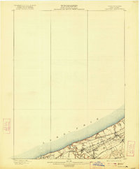
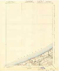
Lake Erie defines the northern edge of this shoreline landscape, where a dense network of late 19th-century rail infrastructure converges near the coast. The map illustrates a critical transportation corridor at the turn of the century, characterized by the parallel tracks of the Lake Shore and Michigan Southern Railroad and the Chicago and St. Louis R. R.. These lines facilitated the rapid movement of goods and passengers between major industrial hubs, anchoring local settlements like Fairview and Miles Grove.
Find a feature on this map
16 named features on this map. Tap any name to fly to it.
Don’t see what you’re looking for? This feature index may not catch every label — zoom into the map to look around manually.
Map Details
Editions of this 1900 Fairview Map
5 editions found
Other maps of this area

1899 · Erie
USGS Topo · 1:62,500

1900 · Girard
USGS Topo · 1:62,500

1900 · Erie
USGS Topo · 1:62,500

1906 · Conneaut
USGS Topo · 1:62,500

1923 · Cambridge Springs
USGS Topo · 1:62,500

1925 · Cambridge Springs
USGS Topo · 1:62,500

1943 · Cambridge Springs
USGS Topo · 1:62,500

1950 · Cleveland
USGS Topo · 1:250,000

1950 · Erie
USGS Topo · 1:250,000

1956 · Cleveland
USGS Topo · 1:250,000