
1925 Map of Cambridge Springs
USGS Topo · Published 1925About this map
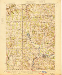
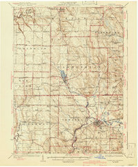
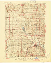
Cambridge Springs serves as a prominent rail and river hub in the mid-1920s, situated at the confluence of French Creek and the Erie RR. The landscape is a dense network of early 20th-century agriculture and education, evidenced by dozens of local institutions like Strong School and Howard Fall School. To the north, the town of Edinboro sits beside Edinboro Lake, connected to the surrounding countryside by the Northwestern Electric railway line.
Find a feature on this map
108 named features on this map. Tap any name to fly to it.
Don’t see what you’re looking for? This feature index may not catch every label — zoom into the map to look around manually.
Map Details
Editions of this 1925 Cambridge Springs Map
4 editions found
Other maps of this area

1899 · Erie
USGS Topo · 1:62,500

1900 · Girard
USGS Topo · 1:62,500

1900 · Erie
USGS Topo · 1:62,500

1900 · Fairview
USGS Topo · 1:62,500

1906 · Linesville
USGS Topo · 1:62,500

1908 · Linesville
USGS Topo · 1:62,500

1913 · North East
USGS Topo · 1:62,500

1915 · North East
USGS Topo · 1:62,500

1923 · Meadville
USGS Topo · 1:62,500

1923 · Cambridge Springs
USGS Topo · 1:62,500