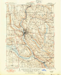
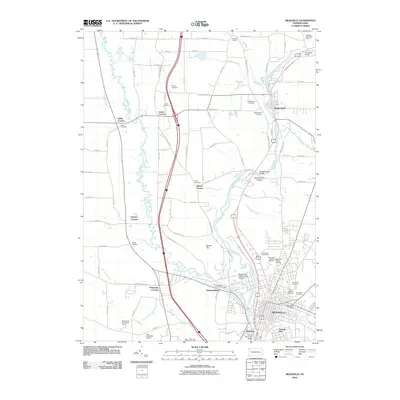
1923 Map of Meadville
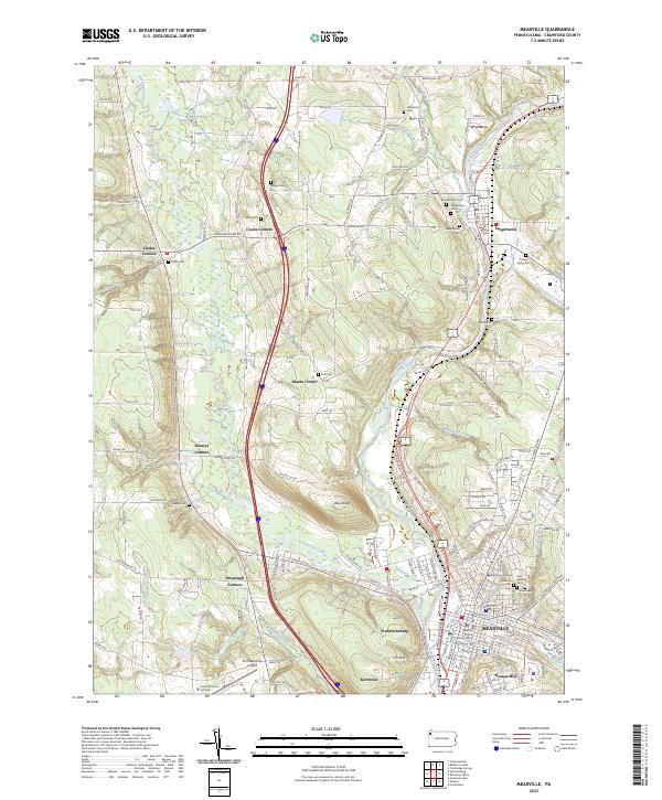
USGS Topo · Published 1962About this map
French Creek carves a deep valley through central Crawford County, serving as the primary corridor for the Erie R R and the Bessemer and Lake Erie R R. In this 1920s landscape, the hub of Meadville is surrounded by a dense network of rural school districts, including Shutz School, Gibson School, and the Trace School. This map illustrates the transition from traditional water-powered sites to early 20th-century infrastructure, evidenced by the Water Works and the County Farm near Saegerstown. Smaller settlements like Blooming Valley and Cochranton anchor the agricultural uplands, while natural landmarks such as Black Ash Swamp and the mineral waters of Ponce de Leon Spring highlight the region's diverse topography. Genealogists will find an incredible density of named rural landmarks, from Broadford Bridge to the many scattered Grange Halls that served as community centers.
Find a feature on this map
115 named features on this map. Tap any name to fly to it.
Don’t see what you’re looking for? This feature index may not catch every label — zoom into the map to look around manually.
Map Details
Editions of this 1923 Meadville Map
This is the sole edition of this map. No revisions or reprints were ever made.
Historical Maps of Meadville Through Time
10 maps found
1923 Meadville
Crawford County, PA
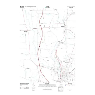
1925 Meadville
Crawford County, PA
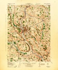
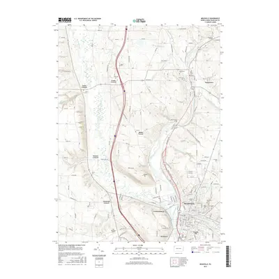
1943 Meadville
Crawford County, PA
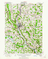
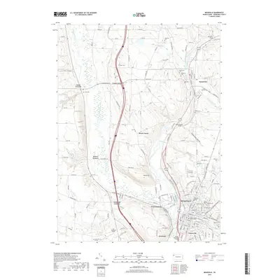
1968 Meadville
Crawford County, PA

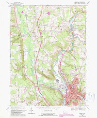
1998 Meadville
Crawford County, PA
2010 Meadville
Crawford County, PA
2013 Meadville
Crawford County, PA
2016 Meadville
Crawford County, PA
2019 Meadville
Crawford County, PA
2023 Meadville
Crawford County, PA