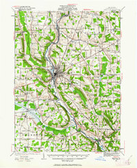
1943 Map of Meadville
USGS Topo · Published 1943About this map
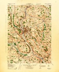
The city of Meadville serves as the industrial and logistical heart of this Crawford County landscape, where the Erie railroad and the waters of French Creek converge. This wartime revision, based on earlier surveys, captures a dense network of rural infrastructure including the County Farm and the municipal Water Works. The surrounding townships are defined by a high concentration of named country schools, such as Byham Sch and Gibson Sch, which reflect the distributed nature of the rural population during the mid-century.
Find a feature on this map
102 named features on this map. Tap any name to fly to it.
Don’t see what you’re looking for? This feature index may not catch every label — zoom into the map to look around manually.
Map Details
Editions of this 1943 Meadville Map
This is the sole edition of this map. No revisions or reprints were ever made.
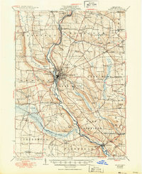
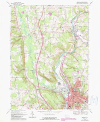
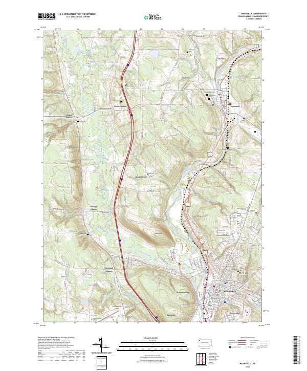
Historical Maps of Meadville Through Time
6 maps found