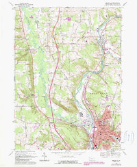
1968 Map of Meadville
USGS Topo · Published 1990About this map
Meadville and the winding corridor of French Creek anchor this late 1960s survey of Crawford County, showing the region as it transitioned into the interstate era. The landscape is defined by the prominent valley of Cussewago Creek and the rising elevation of Round Top, while the city itself reveals the campuses of Allegheny College and several local institutions like the County Home and the Bethesda Home for Children. Cultural landmarks such as the Greendale Cem and St Agathas Cemetery provide significant data for genealogical research.
Find a feature on this map
62 named features on this map. Tap any name to fly to it.
Don’t see what you’re looking for? This feature index may not catch every label — zoom into the map to look around manually.
Map Details
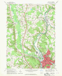
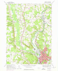
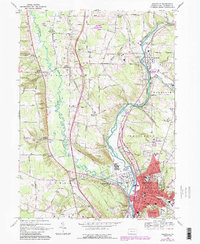
Editions of this 1968 Meadville Map
4 editions found
Other maps of this area

1900 · Girard
USGS Topo · 1:62,500

1906 · Linesville
USGS Topo · 1:62,500

1908 · Linesville
USGS Topo · 1:62,500

1923 · Meadville
USGS Topo · 1:62,500

1923 · Cambridge Springs
USGS Topo · 1:62,500

1925 · Meadville
USGS Topo · 1:62,500

1925 · Cambridge Springs
USGS Topo · 1:62,500

1943 · Meadville
USGS Topo · 1:62,500

1943 · Cambridge Springs
USGS Topo · 1:62,500

1950 · Cleveland
USGS Topo · 1:250,000