
1915 Map of North East
USGS Topo · Published 1915About this map
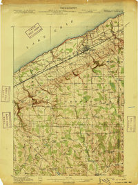
The coastal fruit belt and agricultural interior of Erie County are captured here just before the First World War. Lake Erie defines the northern boundary, where the Lake Shore and Michigan Southern and the New York Chicago and St Louis railroads create a dense transportation corridor through North East. This transit-heavy shoreline, marked by Middle Road and Buffalo Road, contrasts with the southern uplands of Greenfield and Venango townships. These rural areas are defined by a network of one-room schoolhouses like Gospel Hill School and Delhill School, alongside small community centers such as Colts Station and Philipsville. The drainage patterns of French Creek and Eightmile Creek illustrate the divide between the lake plain and the rolling southern hills, which are dotted with family-named crossroads like Owens Corners and Bogus Corners.
Find a feature on this map
102 named features on this map. Tap any name to fly to it.
Don’t see what you’re looking for? This feature index may not catch every label — zoom into the map to look around manually.
Map Details
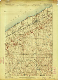
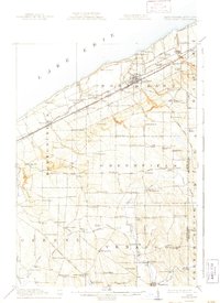
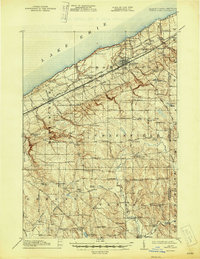
Editions of this 1915 North East Map
5 editions found
Other maps of this area

1899 · Westfield
USGS Topo · 1:62,500

1899 · Erie
USGS Topo · 1:62,500

1900 · Erie
USGS Topo · 1:62,500

1905 · Clymer
USGS Topo · 1:62,500

1913 · North East
USGS Topo · 1:62,500

1923 · Cambridge Springs
USGS Topo · 1:62,500

1925 · Cambridge Springs
USGS Topo · 1:62,500

1929 · Corry
USGS Topo · 1:48,000

1929 · Union City
USGS Topo · 1:62,500

1932 · Corry
USGS Topo · 1:62,500