
1900 Map of Erie
USGS Topo · Published 1900About this map
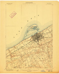
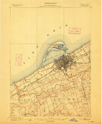
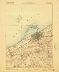
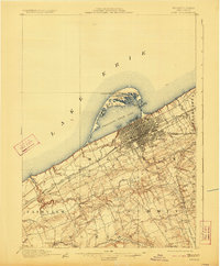
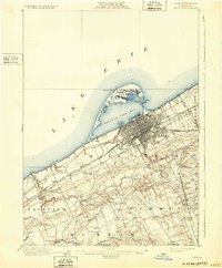
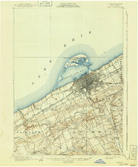
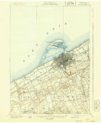
Erie dominates this 1899 survey as a bustling hub of industry and transport, where the city grid meets the protected waters of Presque Isle Bay. The distinctive arc of Presque Isle creates a natural harbor, dotted with internal water bodies like Cranberry Pond and Misery Bay. Safety for Lake Erie mariners is marked by the Presque Isle L.H. and the Erie L.H., anchoring the maritime character of the region.
Find a feature on this map
44 named features on this map. Tap any name to fly to it.
Don’t see what you’re looking for? This feature index may not catch every label — zoom into the map to look around manually.
Map Details
Editions of this 1900 Erie Map
8 editions found
Other maps of this area

1899 · Erie
USGS Topo · 1:62,500

1900 · Girard
USGS Topo · 1:62,500

1900 · Fairview
USGS Topo · 1:62,500

1913 · North East
USGS Topo · 1:62,500

1915 · North East
USGS Topo · 1:62,500

1923 · Cambridge Springs
USGS Topo · 1:62,500

1925 · Cambridge Springs
USGS Topo · 1:62,500

1929 · Union City
USGS Topo · 1:62,500

1932 · Union City
USGS Topo · 1:62,500

1943 · North East
USGS Topo · 1:62,500