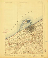
1900 Map of Erie
USGS Topo · Published 1923About this map
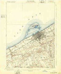
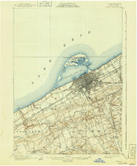
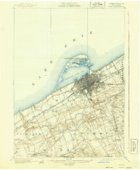
Erie anchors this survey at a time when its industrial waterfront was deeply integrated with a complex network of railroads. The peninsula of Presque Isle creates the natural harbor of Presque Isle Bay, shielding landmarks like Misery Bay and the Presque Isle L.H. from the open waters of Lake Erie. The landscape reveals a transition from the urban grid of the city to the rural townships of Summit and McKean, where scattered hamlets like Sterrettania and Five Points sit along the winding path of Walnut Creek.
Find a feature on this map
40 named features on this map. Tap any name to fly to it.
Don’t see what you’re looking for? This feature index may not catch every label — zoom into the map to look around manually.
Map Details
Editions of this 1900 Erie Map
8 editions found
Other maps of this area

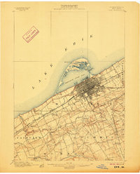
1899 · Erie
USGS Topo · 1:62,500

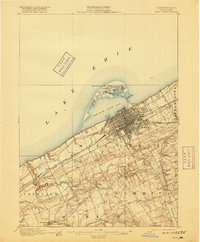
1900 · Girard
USGS Topo · 1:62,500

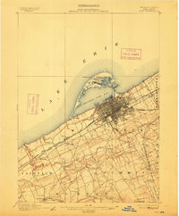
1900 · Erie
USGS Topo · 1:62,500

1900 · Fairview
USGS Topo · 1:62,500

1913 · North East
USGS Topo · 1:62,500

1915 · North East
USGS Topo · 1:62,500

1923 · Cambridge Springs
USGS Topo · 1:62,500

1925 · Cambridge Springs
USGS Topo · 1:62,500

1929 · Union City
USGS Topo · 1:62,500

1932 · Union City
USGS Topo · 1:62,500