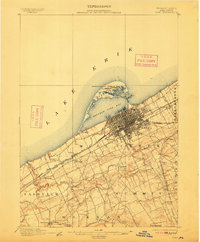
1900 Map of Erie
USGS Topo · Published 1912About this map
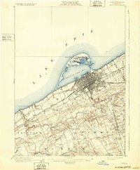
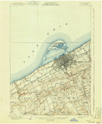
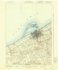
Erie and its industrial waterfront dominate the shoreline of Lake Erie at the turn of the century, showing a city deeply integrated with its coastal geography and rail infrastructure. The distinctive arc of Presque Isle creates a sheltered Presque Isle Bay, featuring landmarks like the Erie L.H. and isolated water bodies such as Cranberry Pond and Ridge Pond. Inland, the landscape is defined by the deep valleys of Mill Creek and Walnut Creek, which the P. R. R. (Philadelphia and Erie Div.) and other major lines navigate to reach the port. The map documents smaller rural communities like Swanville and Kearsarge, and specific social landmarks such as the Weis Library, providing a detailed look at the transition from urban harbor to the agricultural hinterlands of Mill Creek and Fairview townships.
Find a feature on this map
43 named features on this map. Tap any name to fly to it.
Don’t see what you’re looking for? This feature index may not catch every label — zoom into the map to look around manually.
Map Details
Editions of this 1900 Erie Map
8 editions found
Other maps of this area

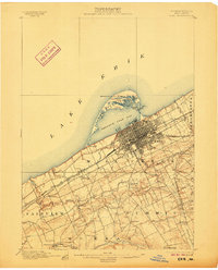
1899 · Erie
USGS Topo · 1:62,500

1900 · Girard
USGS Topo · 1:62,500

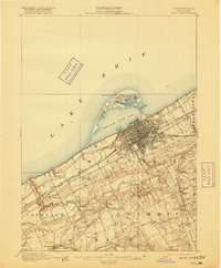
1900 · Erie
USGS Topo · 1:62,500

1900 · Fairview
USGS Topo · 1:62,500

1913 · North East
USGS Topo · 1:62,500

1915 · North East
USGS Topo · 1:62,500

1923 · Cambridge Springs
USGS Topo · 1:62,500

1925 · Cambridge Springs
USGS Topo · 1:62,500

1929 · Union City
USGS Topo · 1:62,500

1932 · Union City
USGS Topo · 1:62,500