
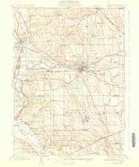
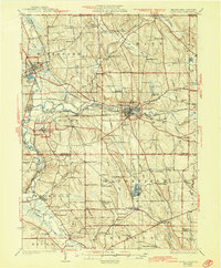
1932 Map of Union City
USGS Topo · Published 1932About this map
The junction of the Erie RR and the Pennsylvania RR at Union City anchors this 1929 survey of the Pennsylvania-New York borderlands. The landscape is defined by the winding course of French Creek and its many tributaries, which supported a dense network of early 20th-century rural communities and crossroads. Scores of family-named corners such as Hinkley Corners and Sturgis Corners point to the deep genealogical roots of the region, while numerous rural schools like Townline Sch and Hatch Hollow Sch served the surrounding farming population.
Find a feature on this map
120 named features on this map. Tap any name to fly to it.
Don’t see what you’re looking for? This feature index may not catch every label — zoom into the map to look around manually.
Map Details
Editions of this 1932 Union City Map
3 editions found
Other maps of this area

1899 · Erie
USGS Topo · 1:62,500

1900 · Erie
USGS Topo · 1:62,500

1905 · Clymer
USGS Topo · 1:62,500

1913 · North East
USGS Topo · 1:62,500

1915 · North East
USGS Topo · 1:62,500

1923 · Meadville
USGS Topo · 1:62,500

1923 · Cambridge Springs
USGS Topo · 1:62,500

1925 · Meadville
USGS Topo · 1:62,500

1925 · Cambridge Springs
USGS Topo · 1:62,500

1927 · Townville
USGS Topo · 1:48,000