
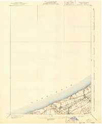
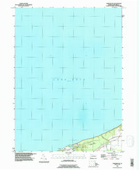
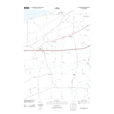
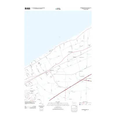
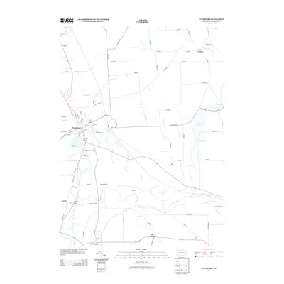
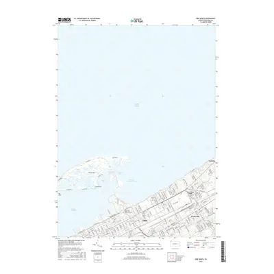
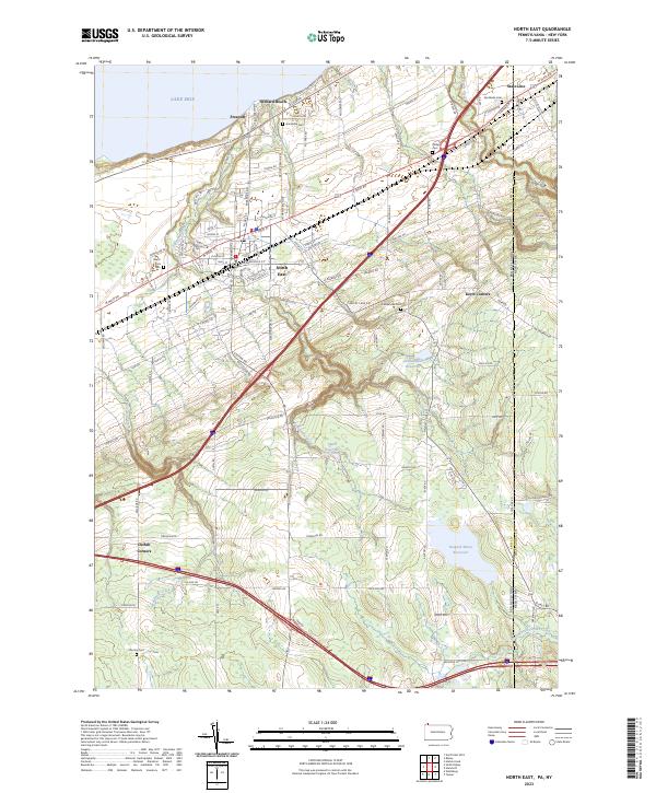
1913 Map of North East
USGS Topo · Published 1962About this map
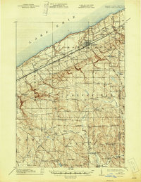
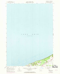
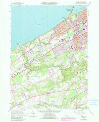
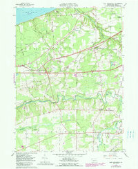
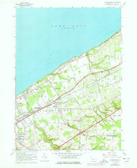
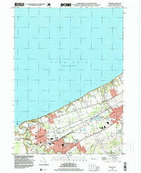
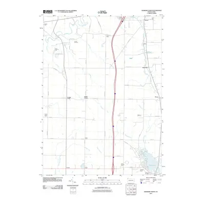
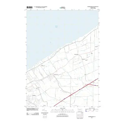
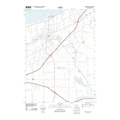
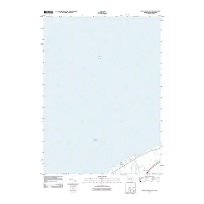
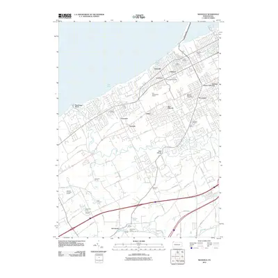
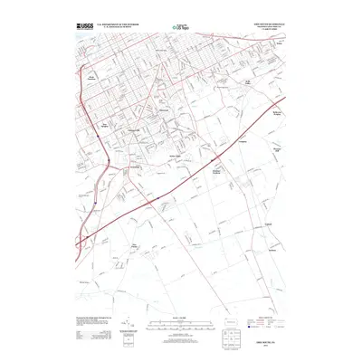
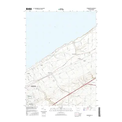
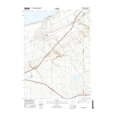
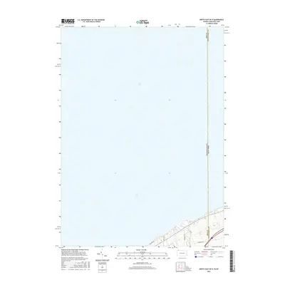
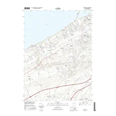
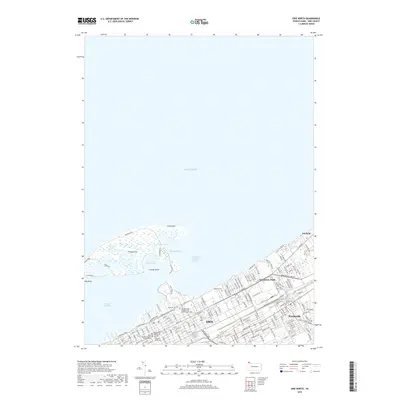
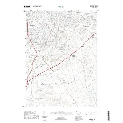
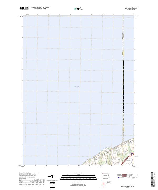
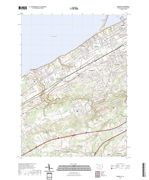
Lake Erie defines the northern reaches of this landscape, where the shoreline is carved by a succession of parallel waterways including Twenty Mile Creek and Twelvemile Creek. During the early twentieth century, this region served as a vital transportation corridor between New York and Pennsylvania. The heavy infrastructure of the Lake Shore and Michigan Southern and the New York Chicago and St Louis railroads runs parallel to Lake Road, supporting the agricultural and industrial hubs of North East and Harborcreek.
Find a feature on this map
95 named features on this map. Tap any name to fly to it.
Don’t see what you’re looking for? This feature index may not catch every label — zoom into the map to look around manually.
Map Details
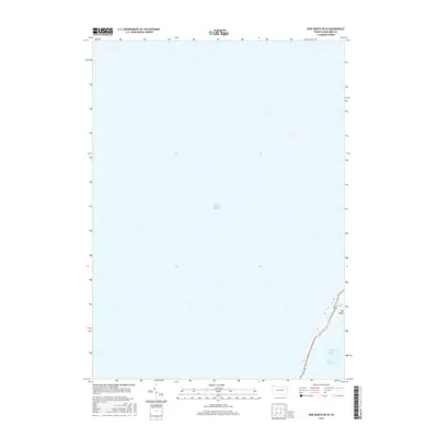
Editions of this 1913 North East Map
This is the sole edition of this map. No revisions or reprints were ever made.
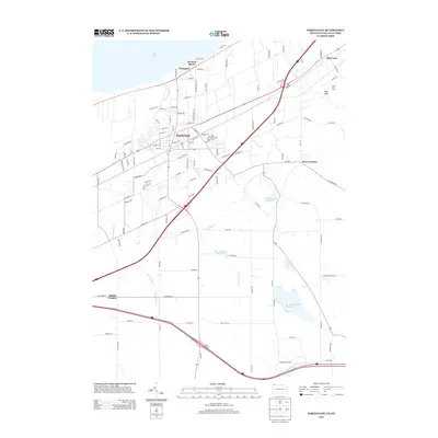
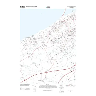
Historical Maps of Harborcreek Township Through Time
88 maps found
1900 Fairview
Erie County, PA
1913 North East
Erie County, PA
1915 North East
Erie County, PA

1943 North East
Erie County, PA
1957 Erie South
Erie County, PA
1957 Fairview
Erie County, PA
1957 Fairview SW
Erie County, PA
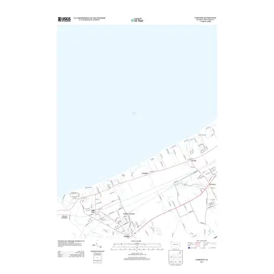
1957 Swanville
Erie County, PA
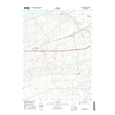
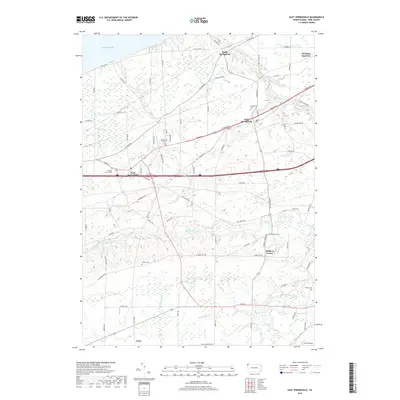
1959 East Springfield
Erie County, PA
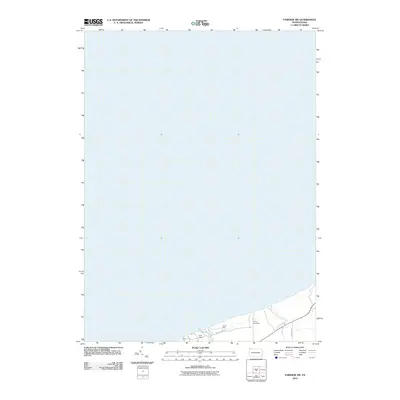
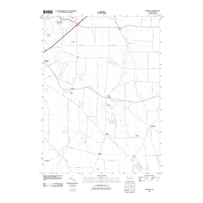
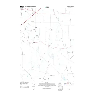
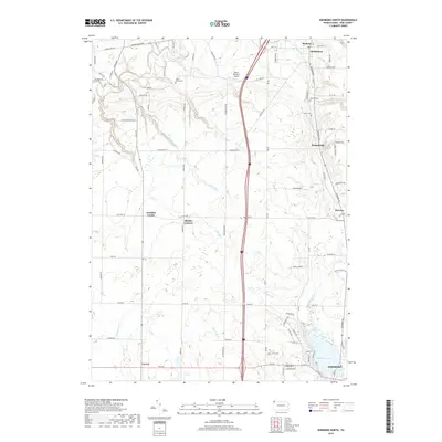
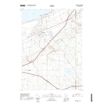
1960 Hammett
Erie County, PA
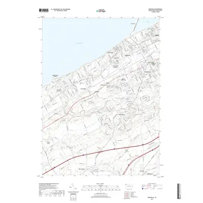
1960 Harborcreek
Erie County, PA
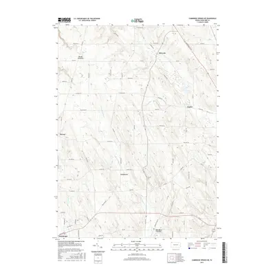
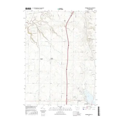
1967 Cambridge Springs NE
Erie County, PA
1967 Edinboro North
Erie County, PA
1967 Waterford
Erie County, PA

1996 Erie South
Erie County, PA
1996 Fairview SW
Erie County, PA

1996 Harborcreek
Erie County, PA
1998 Fairview
Erie County, PA

1998 Swanville
Erie County, PA
2010 Cambridge Springs NE
Erie County, PA
2010 East Springfield
Erie County, PA
2010 Edinboro North
Erie County, PA
2010 Erie North
Erie County, PA
2010 Erie South
Erie County, PA
2010 Fairview
Erie County, PA
2010 Fairview SW
Erie County, PA
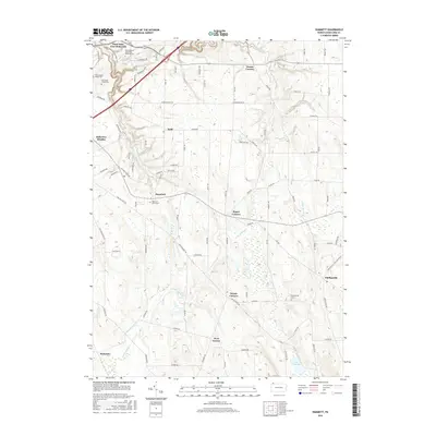
2010 Hammett
Erie County, PA
2010 Harborcreek
Erie County, PA
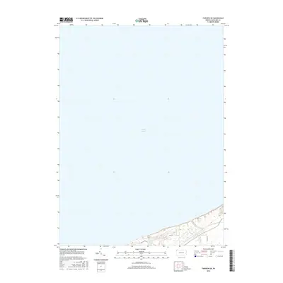
2010 North East
Erie County, PA
2010 North East OE N
Erie County, PA
2010 Swanville
Erie County, PA
2010 Waterford
Erie County, PA
2013 Cambridge Springs NE
Erie County, PA
2013 East Springfield
Erie County, PA
2013 Edinboro North
Erie County, PA
2013 Erie North
Erie County, PA
2013 Erie North OE W
Erie County, PA
2013 Erie South
Erie County, PA
2013 Fairview
Erie County, PA
2013 Fairview SW
Erie County, PA
2013 Hammett
Erie County, PA
2013 Harborcreek
Erie County, PA
2013 North East
Erie County, PA
2013 North East OE N
Erie County, PA
2013 Swanville
Erie County, PA
2013 Waterford
Erie County, PA
2016 Cambridge Springs NE
Erie County, PA
2016 East Springfield
Erie County, PA
2016 Edinboro North
Erie County, PA
2016 Erie North
Erie County, PA
2016 Erie North OE W
Erie County, PA
2016 Erie South
Erie County, PA
2016 Fairview
Erie County, PA
2016 Fairview SW
Erie County, PA
2016 Hammett
Erie County, PA
2016 Harborcreek
Erie County, PA
2016 North East
Erie County, PA
2016 North East OE N
Erie County, PA
2016 Swanville
Erie County, PA
2016 Waterford
Erie County, PA
2019 Cambridge Springs NE
Erie County, PA
2019 East Springfield
Erie County, PA
2019 Edinboro North
Erie County, PA
2019 Erie North
Erie County, PA
2019 Erie North OE W
Erie County, PA
2019 Erie South
Erie County, PA
2019 Fairview
Erie County, PA
2019 Fairview SW
Erie County, PA
2019 Hammett
Erie County, PA
2019 Harborcreek
Erie County, PA
2019 North East
Erie County, PA
2019 North East OE N
Erie County, PA
2019 Swanville
Erie County, PA
2019 Waterford
Erie County, PA
2023 Cambridge Springs NE
Erie County, PA
2023 East Springfield
Erie County, PA
2023 Edinboro North
Erie County, PA
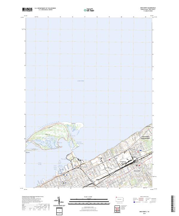
2023 Erie North
Erie County, PA
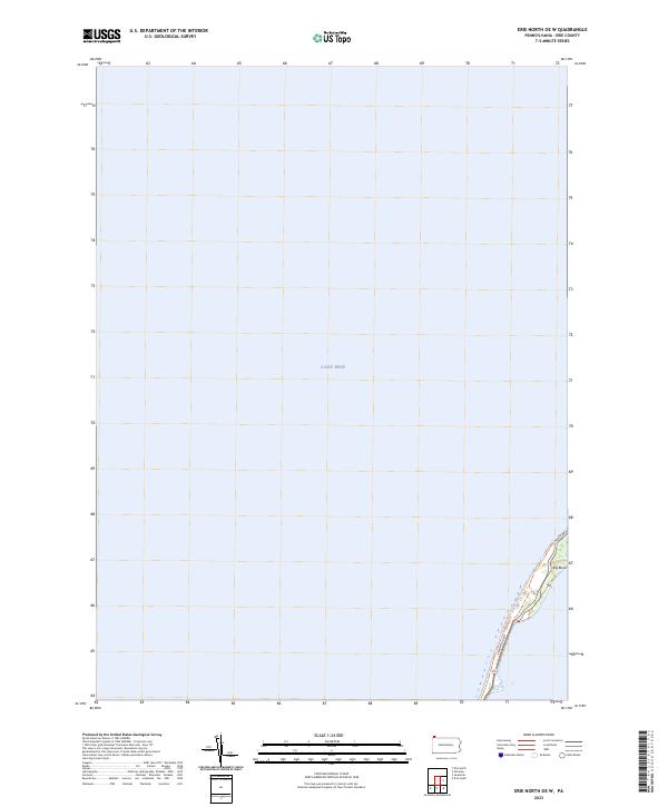
2023 Erie North OE W
Erie County, PA
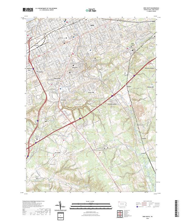
2023 Erie South
Erie County, PA
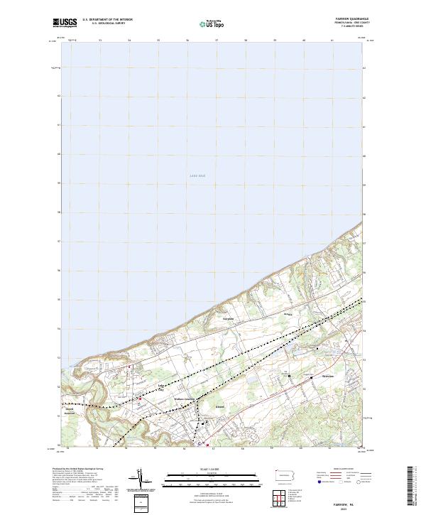
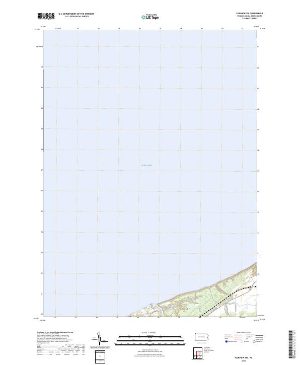
2023 Fairview
Erie County, PA
2023 Fairview SW
Erie County, PA
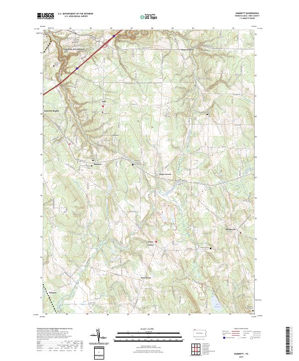
2023 Hammett
Erie County, PA
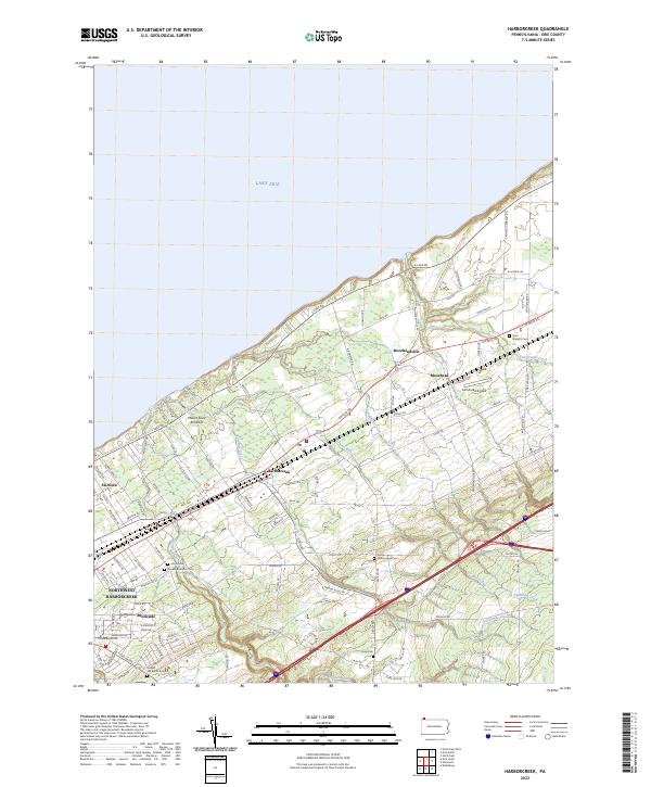
2023 Harborcreek
Erie County, PA
2023 North East
Erie County, PA
2023 North East OE N
Erie County, PA
2023 Swanville
Erie County, PA
2023 Waterford
Erie County, PA