
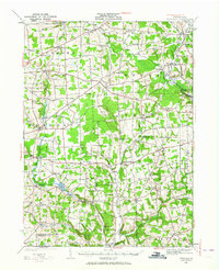
1927 Map of Townville
USGS Topo · Published 1927About this map
Townville serves as the central hub for this late-1920s topography of Crawford and Venango Counties, characterized by a dense network of township roads connecting family-named crossroads and rural schoolhouses. The landscape is defined by the winding paths of Sugar Creek and Muddy Creek, which carve through the townships of Steuben, Troy, and Richmond. Small social centers like Guys Mills and Little Cooley appear alongside numerous specific local institutions, such as North Richmond Church and the Donation School.
Find a feature on this map
82 named features on this map. Tap any name to fly to it.
Don’t see what you’re looking for? This feature index may not catch every label — zoom into the map to look around manually.
Map Details
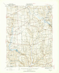
Editions of this 1927 Townville Map
3 editions found
Other maps of this area

1909 · Franklin
USGS Topo · 1:62,500

1911 · Franklin
USGS Topo · 1:62,500

1911 · Stoneboro
USGS Topo · 1:62,500

1913 · Stoneboro
USGS Topo · 1:62,500

1922 · Oil City
USGS Topo · 1:48,000

1923 · Meadville
USGS Topo · 1:62,500

1923 · Cambridge Springs
USGS Topo · 1:62,500

1924 · Oil City
USGS Topo · 1:62,500

1925 · Meadville
USGS Topo · 1:62,500

1925 · Cambridge Springs
USGS Topo · 1:62,500