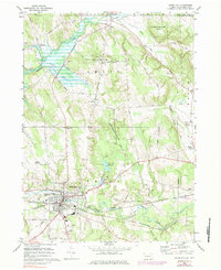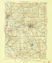
1932 Map of Union City
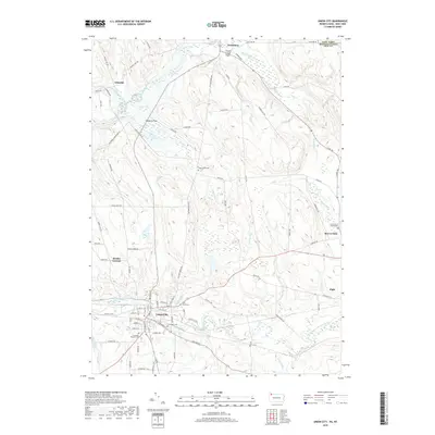
USGS Topo · Published 1944About this map
Union City serves as a significant rail junction where the Erie RR and Pennsylvania RR intersect, defining the industrial and logistical character of the region in the late 1920s. The landscape is marked by the broad French Creek Flats and numerous small rural settlements like Mill Village and Lincolnville. This era shows a dense network of one-room schoolhouses, including Hatch Hollow Sch and Emerson Sch, which anchored local communities before the consolidation of rural districts. The map also traces the Roosevelt Highway as it cuts through the terrain, connecting small hamlets such as Arbuckle and Barton. Water features like Canadohta Lake and Le Boeuf Lake appear alongside family-named landmarks like Ferris Corners and Foxburg Corners, offering a detailed record of the agrarian and early-automotive landscape during a time of transition between traditional farming and modern infrastructure.
Find a feature on this map
104 named features on this map. Tap any name to fly to it.
Don’t see what you’re looking for? This feature index may not catch every label — zoom into the map to look around manually.
Map Details
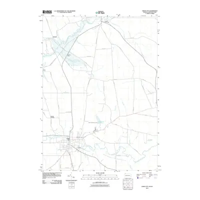
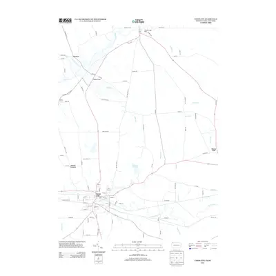
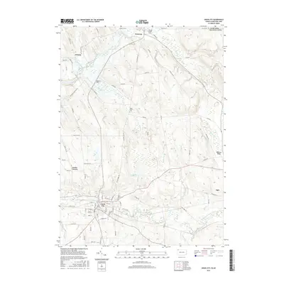
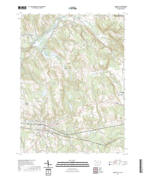
Editions of this 1932 Union City Map
3 editions found


Historical Maps of Union City Through Time
8 maps found