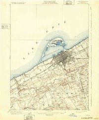
1900 Map of Erie
USGS Topo · Published 1932About this map
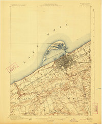
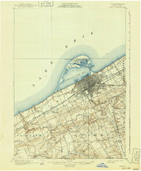
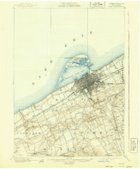
Erie serves as a bustling hub of rail and maritime commerce at the turn of the century, dominated by the protective curve of Presque Isle. The map captures the city's complex street grid extending toward Presque Isle Bay, where the Presque Isle L. H. and Erie L. H. guarded the entrance to one of the most vital ports on Lake Erie. This survey reveals an era before modern lakeside development, showing the natural lagoons of Cranberry Pond and Ridge Pond alongside the grimly named Graveyard Ponds.
Find a feature on this map
38 named features on this map. Tap any name to fly to it.
Don’t see what you’re looking for? This feature index may not catch every label — zoom into the map to look around manually.
Map Details
Editions of this 1900 Erie Map
8 editions found
Other maps of this area

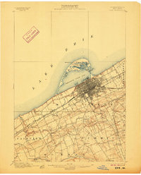
1899 · Erie
USGS Topo · 1:62,500

1900 · Girard
USGS Topo · 1:62,500

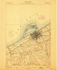
1900 · Erie
USGS Topo · 1:62,500

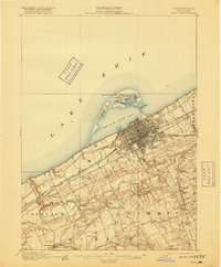
1900 · Fairview
USGS Topo · 1:62,500

1913 · North East
USGS Topo · 1:62,500

1915 · North East
USGS Topo · 1:62,500

1923 · Cambridge Springs
USGS Topo · 1:62,500

1925 · Cambridge Springs
USGS Topo · 1:62,500

1929 · Union City
USGS Topo · 1:62,500

1932 · Union City
USGS Topo · 1:62,500