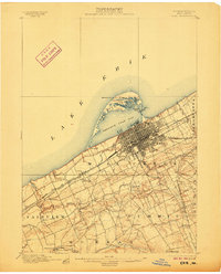
1900 Map of Erie
USGS Topo · Published 1906About this map
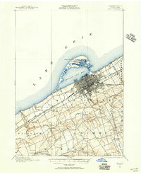
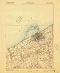
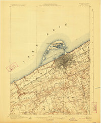
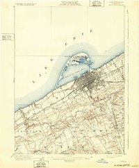
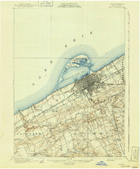
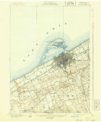
Presque Isle shelters the industrial and maritime hub of Erie at the turn of the century, serving as a natural breakwater for Presque Isle Bay. This 1899 survey captures the city's expanding grid and heavy rail infrastructure, notably where the Lake Shore and Michigan Southern R. R. and the Pennsylvania R. R. Philadelphia and Erie Div. converge near the waterfront. Navigation is supported by the Presque Isle L.H. and the Erie L.H., while the interior of the peninsula is dotted with smaller water bodies like Cranberry Pond and the somberly named Graveyard Ponds. Beyond the city limits, the landscape transitions into agricultural townships such as Fairview and Summit. Rural life is centered around small crossroads and landmarks like the Weis Library near Walnut Creek and scattered settlements including Sterrettania, Kearsarge, and Belle Valley.
Find a feature on this map
47 named features on this map. Tap any name to fly to it.
Don’t see what you’re looking for? This feature index may not catch every label — zoom into the map to look around manually.
Map Details
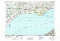
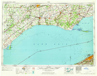
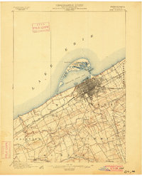
Editions of this 1900 Erie Map
8 editions found
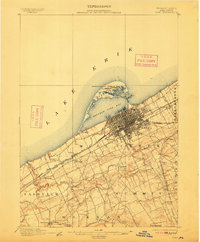
Historical Maps of Erie Through Time
7 maps found