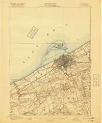
1900 Map of Erie
USGS Topo · Published 1918About this map
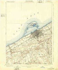
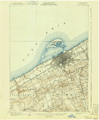
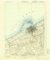
The city of Erie dominates the Lake Erie shoreline in this turn-of-the-century survey, showcasing a dense urban grid and a complex harbor protected by the distinctive curve of Presque Isle. The map captures the industrial and maritime infrastructure of the era, including the Erie L.H. and Presque Isle L.H., alongside the crucial rail lines of the Lake Shore and Michigan Southern R. R. and the P. R. R. Philadelphia and Erie Div. that fueled the region's growth.
Find a feature on this map
44 named features on this map. Tap any name to fly to it.
Don’t see what you’re looking for? This feature index may not catch every label — zoom into the map to look around manually.
Map Details
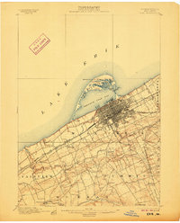
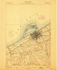
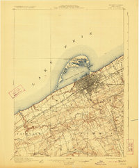
Editions of this 1900 Erie Map
8 editions found
Other maps of this area

1899 · Erie
USGS Topo · 1:62,500

1900 · Girard
USGS Topo · 1:62,500

1900 · Erie
USGS Topo · 1:62,500

1900 · Fairview
USGS Topo · 1:62,500

1913 · North East
USGS Topo · 1:62,500

1915 · North East
USGS Topo · 1:62,500

1923 · Cambridge Springs
USGS Topo · 1:62,500

1925 · Cambridge Springs
USGS Topo · 1:62,500

1929 · Union City
USGS Topo · 1:62,500

1932 · Union City
USGS Topo · 1:62,500