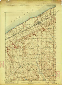
1915 Map of North East
USGS Topo · Published 1923About this map
Lake Erie defines the northern edge of this Erie County landscape, where the shoreline is carved by a succession of named drainages including Sixmile Creek, Twelvemile Creek, and Sixteenmile Creek. Just inland, the town of North East serves as a major hub for the New York Central and Hudson River RR and the New York Chicago and St Louis RR. This early twentieth-century transport network facilitated the movement of goods and people across the state line into New York, visible at the map's eastern margin.
Find a feature on this map
94 named features on this map. Tap any name to fly to it.
Don’t see what you’re looking for? This feature index may not catch every label — zoom into the map to look around manually.
Map Details
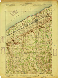
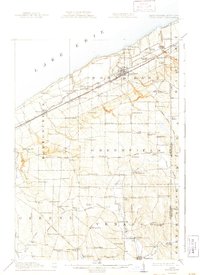
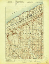
Editions of this 1915 North East Map
5 editions found
Other maps of this area

1899 · Westfield
USGS Topo · 1:62,500

1899 · Erie
USGS Topo · 1:62,500

1900 · Erie
USGS Topo · 1:62,500

1905 · Clymer
USGS Topo · 1:62,500

1913 · North East
USGS Topo · 1:62,500

1915 · North East
USGS Topo · 1:62,500

1923 · Cambridge Springs
USGS Topo · 1:62,500

1925 · Cambridge Springs
USGS Topo · 1:62,500

1929 · Corry
USGS Topo · 1:48,000

1929 · Union City
USGS Topo · 1:62,500