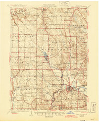
1925 Map of Cambridge Springs
USGS Topo · Published 1944About this map
French Creek and Conneauttee Creek carve their way through this portion of northwestern Pennsylvania, where the landscape is defined by a dense network of early 20th-century rural infrastructure. Centered on the borough of Cambridge Springs, the map reveals a highly developed social fabric of small schoolhouses and country churches spaced regularly among the hills. Distinctive landmarks like Rainbow Lake near Edinboro and the upland terrain of Mt Pleasant suggest a region transitioning from its agricultural roots toward established residential communities.
Find a feature on this map
105 named features on this map. Tap any name to fly to it.
Don’t see what you’re looking for? This feature index may not catch every label — zoom into the map to look around manually.
Map Details
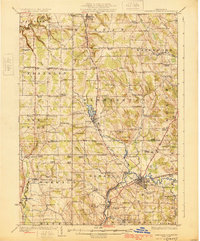
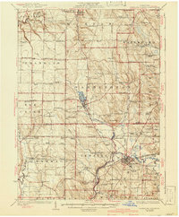
Editions of this 1925 Cambridge Springs Map
4 editions found

Other maps of this area

1899 · Erie
USGS Topo · 1:62,500

1900 · Girard
USGS Topo · 1:62,500

1900 · Erie
USGS Topo · 1:62,500

1900 · Fairview
USGS Topo · 1:62,500

1906 · Linesville
USGS Topo · 1:62,500

1908 · Linesville
USGS Topo · 1:62,500

1913 · North East
USGS Topo · 1:62,500

1915 · North East
USGS Topo · 1:62,500

1923 · Meadville
USGS Topo · 1:62,500

1923 · Cambridge Springs
USGS Topo · 1:62,500