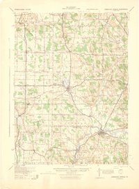
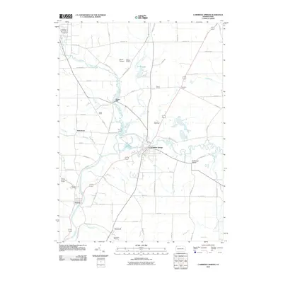
1943 Map of Cambridge Springs
USGS Topo · Published 1943About this map
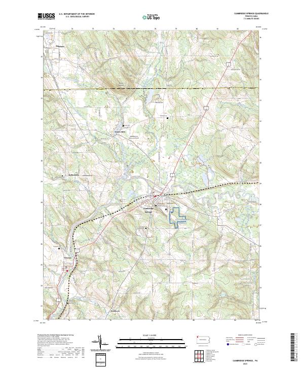
Edinboro Lake and the surrounding resort and college landscape define the center of this 1943 survey of Northwestern Pennsylvania. The Erie railroad line tracks through the southern portion of the sheet, connecting the borough of Cambridge Springs with the junction at Blystone Jc along the banks of French Creek. This era reveals a dense network of rural infrastructure, with nearly every few miles marked by a neighborhood schoolhouse, such as Kinter Hill Sch or Gillespie Sch, and local crossroads like Mishler Corners. The transition from Erie County to Crawford County is documented through these small-scale agricultural and community hubs, including the settlement of Crossingville and the spiritual center at Bethel Ch.
Find a feature on this map
91 named features on this map. Tap any name to fly to it.
Don’t see what you’re looking for? This feature index may not catch every label — zoom into the map to look around manually.
Map Details
Editions of this 1943 Cambridge Springs Map
This is the sole edition of this map. No revisions or reprints were ever made.
Historical Maps of Fairview Township Through Time
9 maps found
1923 Cambridge Springs
Crawford County, PA
1925 Cambridge Springs
Crawford County, PA
1943 Cambridge Springs
Crawford County, PA
1968 Cambridge Springs
Crawford County, PA
2010 Cambridge Springs
Crawford County, PA
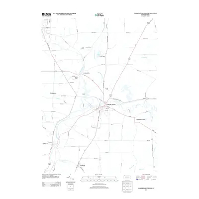
2013 Cambridge Springs
Crawford County, PA
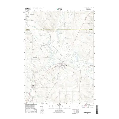
2016 Cambridge Springs
Crawford County, PA
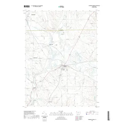
2019 Cambridge Springs
Crawford County, PA
2023 Cambridge Springs
Crawford County, PA