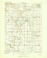
1905 Map of Jefferson
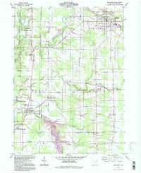
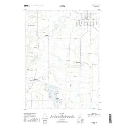
USGS Topo · Published 1959About this map
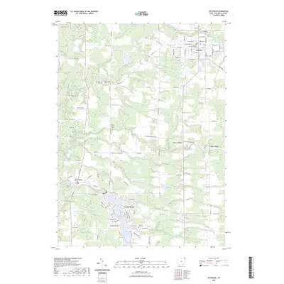
Jefferson serves as the focal point of this 1905 survey, anchoring a landscape defined by the winding course of the Grand River and an intricate network of rural townships. The settlement pattern reveals a transition from traditional agrarian centers like Windsor Mills and Hartsgrove to a developing transportation corridor. The Pennsylvania System railroad runs north-south through the center, establishing crucial hubs at Rock Creek Station and New Lyme Station that bypassed older village centers.
Find a feature on this map
55 named features on this map. Tap any name to fly to it.
Don’t see what you’re looking for? This feature index may not catch every label — zoom into the map to look around manually.
Map Details
Editions of this 1905 Jefferson Map
This is the sole edition of this map. No revisions or reprints were ever made.
Historical Maps of Mesopotamia Township Through Time
9 maps found
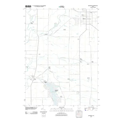
1905 Jefferson
Ashtabula County, OH
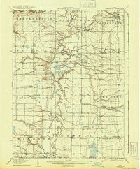
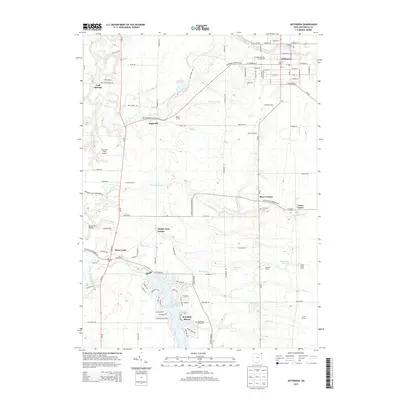
1907 Jefferson
Ashtabula County, OH
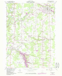
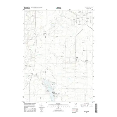
1960 Jefferson
Ashtabula County, OH
1994 Jefferson
Ashtabula County, OH
2010 Jefferson
Ashtabula County, OH
2013 Jefferson
Ashtabula County, OH
2016 Jefferson
Ashtabula County, OH
2019 Jefferson
Ashtabula County, OH
2023 Jefferson
Ashtabula County, OH