Loading...
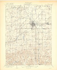
Loading map...1909 Map of Alliance
USGS Topo · Published 1920About this map
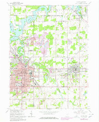
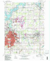
Alliance emerges as a critical rail junction at the turn of the century, where the Pennsylvania System meets several other lines including the Lake Erie Alliance and Wheeling. This complex transportation network fostered the growth of nearby industrial and residential hubs like Sebring and Mt Union. The surrounding countryside across Stark, Mahoning, and Columbiana counties is densely populated with community institutions, featuring numerous rural educational sites such as Union Grove School, Beech School, and the Pinch School.
Find a feature on this map
75 named features on this map. Tap any name to fly to it.
Don’t see what you’re looking for? This feature index may not catch every label — zoom into the map to look around manually.
Map Details
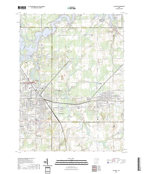
Date Portrayed1909
Date Published1920
PublisherU.S. Geological Survey
Map TypeTopographic
Scale1:62500
Physical Dimensions16.52 x 20.41 inches
Editions of this 1909 Alliance Map
4 editions found

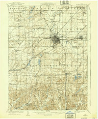
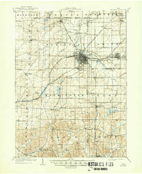
Historical Maps of Alliance Through Time
5 maps found
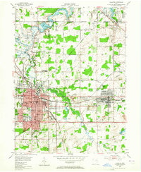
Featured Locations
- Alliance, OH
- Louisville, OH
- Paris, Paris Township
- Marlboro, Marlboro Township
- Lexington, Lexington Township
Source Details
SourceU.S. Geological Survey
CopyrightPublic Domain