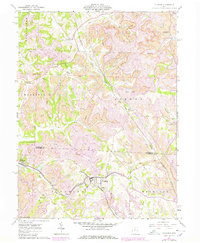
1905 Map of Flushing
USGS Topo · Published 1946About this map
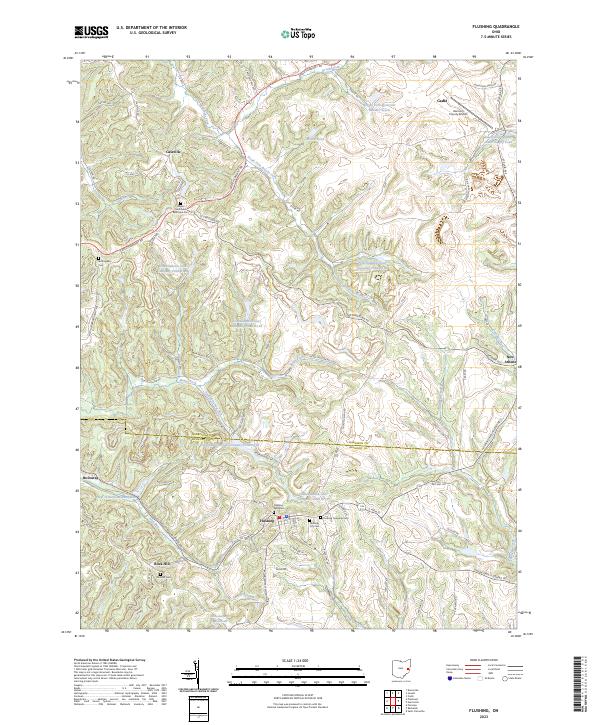
National Turnpike cuts across this hilly section of Eastern Ohio, serving as a primary corridor through towns like Hendrysburg and Morristown. This 1905 survey, updated later with the addition of the Tappan Reservoir, captures the area's transition into a landscape of managed water and established rail routes. The Cleveland Lorain and Wheeling railroad winds through the central valley, connecting Holloway and Flushing to the broader regional industry. Small agricultural and mining-era settlements such as Sewellsville, Lafferty, and Speidel dot the ridges and valleys between major watercourses like Stillwater Creek and McMahon Creek. The map provides a look at the intricate network of townships, including Kirkwood, Union, and Goshen, where early family farms and local crossroads defined the social geography before mid-century infrastructure changes altered the flow of the local creeks.
Find a feature on this map
65 named features on this map. Tap any name to fly to it.
Don’t see what you’re looking for? This feature index may not catch every label — zoom into the map to look around manually.
Map Details
Editions of this 1905 Flushing Map
This is the sole edition of this map. No revisions or reprints were ever made.
Historical Maps of Barnesville Through Time
9 maps found