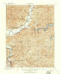
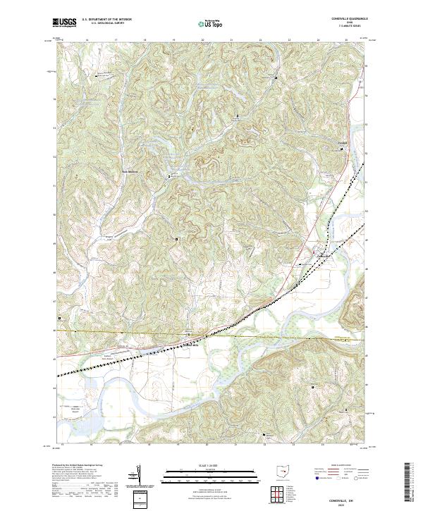
1908 Map of Conesville
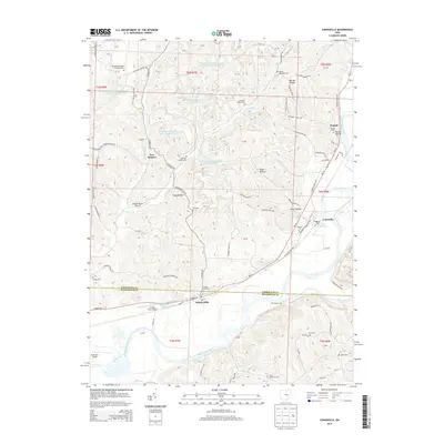
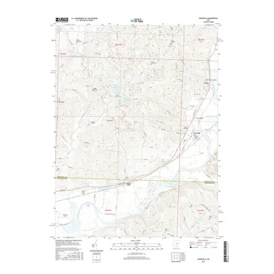
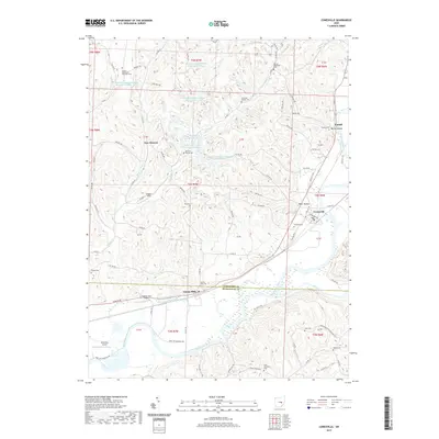
USGS Topo · Published 1961About this map
The Muskingum River and Wills Creek define the landscape of this rural Ohio region, where agricultural life was supported by a dense network of country schools and local mills. Near the confluence of these waterways, Conesville and Adams Mills served as key points along the P C C and St L R R and Wheeling and Lake Erie RR, reflecting the importance of rail transport for moving goods and people through the river valleys.
Find a feature on this map
86 named features on this map. Tap any name to fly to it.
Don’t see what you’re looking for? This feature index may not catch every label — zoom into the map to look around manually.
Map Details
Editions of this 1908 Conesville Map
This is the sole edition of this map. No revisions or reprints were ever made.
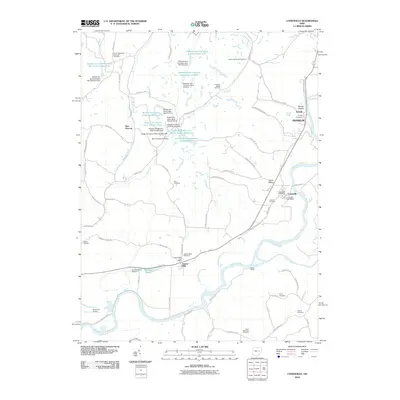
Historical Maps of Coshocton Through Time
9 maps found
1908 Conesville
Coshocton County, OH

1910 Conesville
Coshocton County, OH
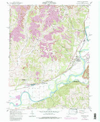
1962 Conesville
Coshocton County, OH
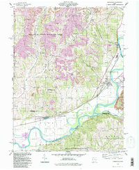
1994 Conesville
Coshocton County, OH
2010 Conesville
Coshocton County, OH
2013 Conesville
Coshocton County, OH
2016 Conesville
Coshocton County, OH
2019 Conesville
Coshocton County, OH
2023 Conesville
Coshocton County, OH