
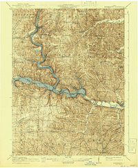
1913 Map of Brinkhaven
USGS Topo · Published 1958About this map
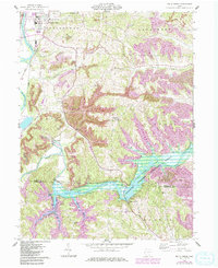
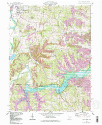
The Mohican River and Walhonding River converge in this pocket of Ohio, shaping a landscape defined by sharp ridges and deep valleys. The Mohawk Reservoir dominates the central topography, while the Pennsylvania railroad tracks trace the water's edge, connecting settlements like Brinkhaven and Walhonding. A dense network of one-room schoolhouses—including the Nigger Run School, Rabbit Ridge School, and Turkey Ridge School—reveals the high density of rural families during the early 20th century.
Find a feature on this map
93 named features on this map. Tap any name to fly to it.
Don’t see what you’re looking for? This feature index may not catch every label — zoom into the map to look around manually.
Map Details
Editions of this 1913 Brinkhaven Map
This is the sole edition of this map. No revisions or reprints were ever made.
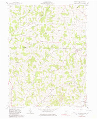
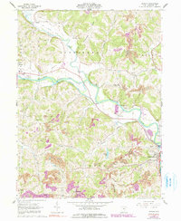
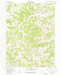
Historical Maps of Warsaw Through Time
29 maps found
1913 Brinkhaven
Coshocton County, OH
1915 Brinkhaven
Coshocton County, OH
1961 New Bedford
Coshocton County, OH
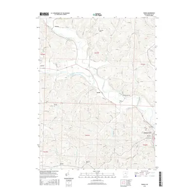
1962 Randle
Coshocton County, OH
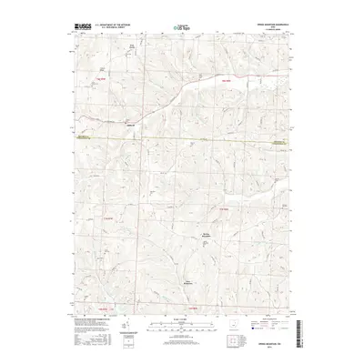
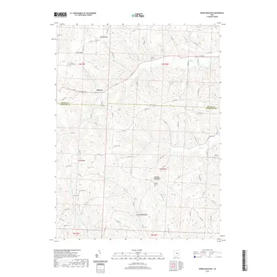
1962 Spring Mountain
Coshocton County, OH
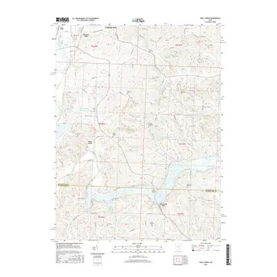
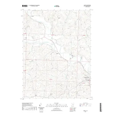
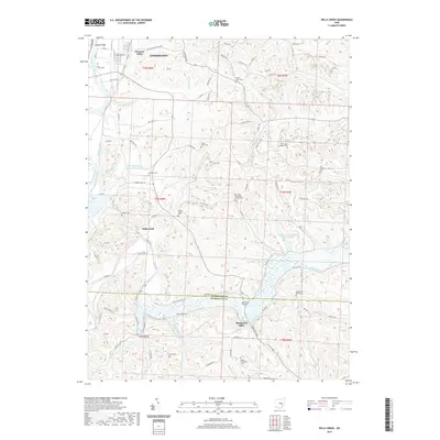
1962 Wills Creek
Coshocton County, OH
1994 New Bedford
Coshocton County, OH
1994 Randle
Coshocton County, OH
1994 Wills Creek
Coshocton County, OH
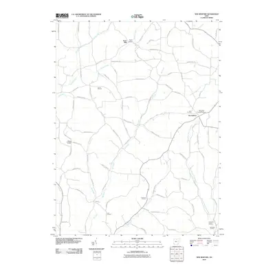
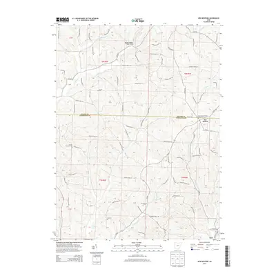
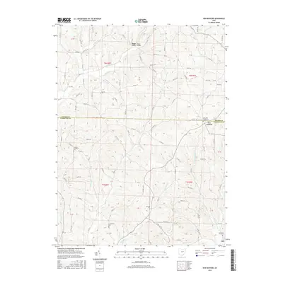
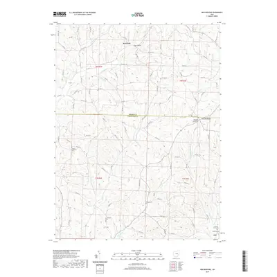
2010 New Bedford
Coshocton County, OH
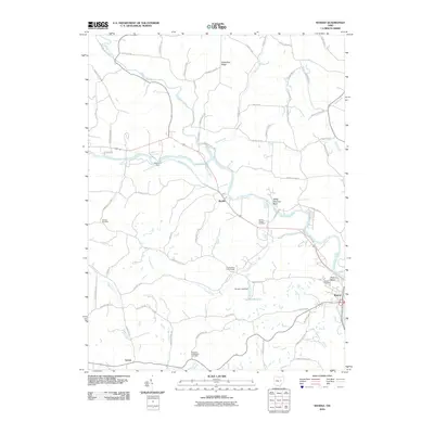
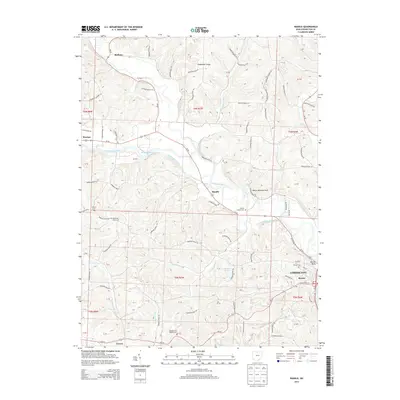
2010 Randle
Coshocton County, OH
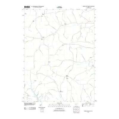
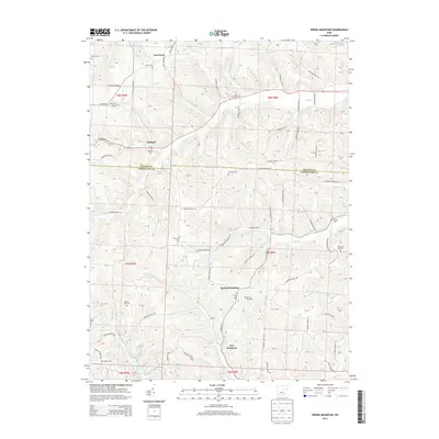
2010 Spring Mountain
Coshocton County, OH
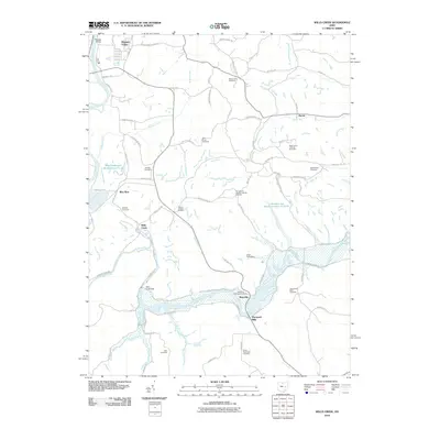
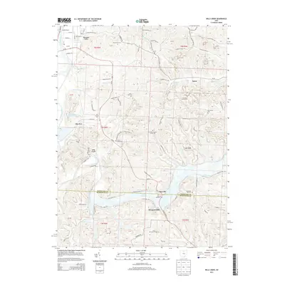
2010 Wills Creek
Coshocton County, OH
2013 New Bedford
Coshocton County, OH
2013 Randle
Coshocton County, OH
2013 Spring Mountain
Coshocton County, OH
2013 Wills Creek
Coshocton County, OH
2016 New Bedford
Coshocton County, OH
2016 Randle
Coshocton County, OH
2016 Spring Mountain
Coshocton County, OH
2016 Wills Creek
Coshocton County, OH
2019 New Bedford
Coshocton County, OH
2019 Randle
Coshocton County, OH
2019 Spring Mountain
Coshocton County, OH
2019 Wills Creek
Coshocton County, OH
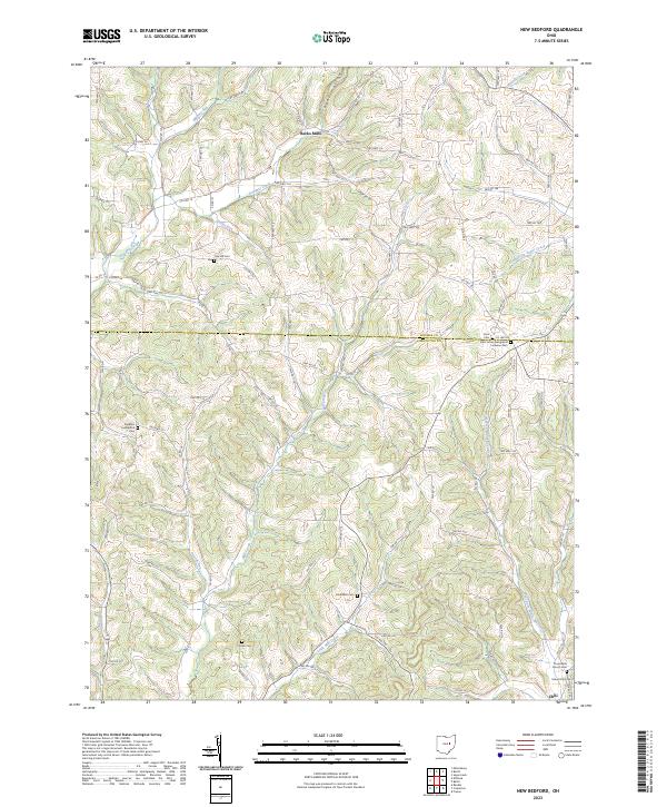
2023 New Bedford
Coshocton County, OH
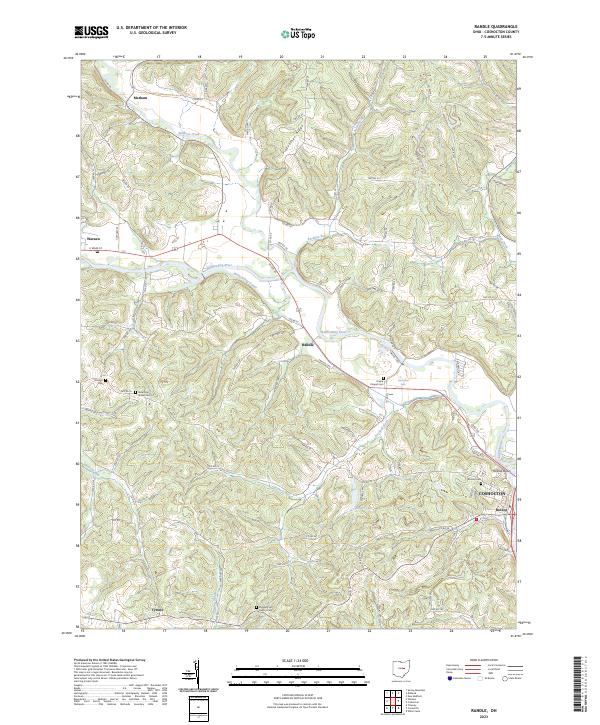
2023 Randle
Coshocton County, OH
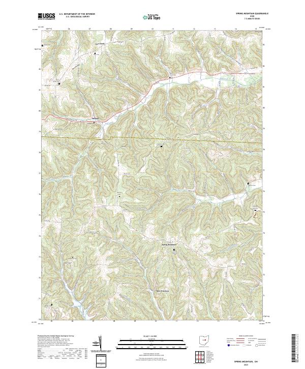
2023 Spring Mountain
Coshocton County, OH
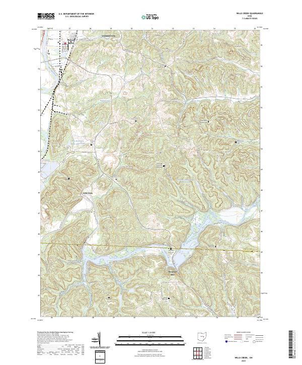
2023 Wills Creek
Coshocton County, OH
Featured Locations
- Warsaw, OH
- Nellie, OH
- Mohawk Village, Jefferson Township
- Newcastle, Newcastle Township
- Brinkhaven, Union Township