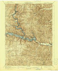
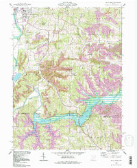
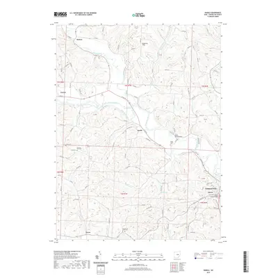
1915 Map of Brinkhaven
USGS Topo · Published 1941About this map
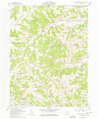
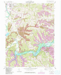
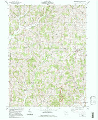
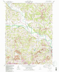
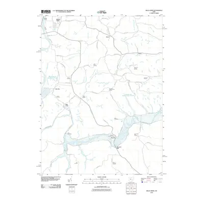
The Mohawk Reservoir dominates this landscape, created by the convergence of the Mohican, Kokosing, and Walhonding rivers. This 1910s era survey, updated in the early 1940s, shows the rural infrastructure of central Ohio when small community centers like Newcastle and Walhonding anchored local life. A distinctive historical landmark, Fort Fizzle, appears in the northern reaches, while the Pennsylvania railroad line winds through the valleys, serving stops such as Brinkhaven and the combined Cavallo Sta Wintergreen PO.
Find a feature on this map
91 named features on this map. Tap any name to fly to it.
Don’t see what you’re looking for? This feature index may not catch every label — zoom into the map to look around manually.
Map Details
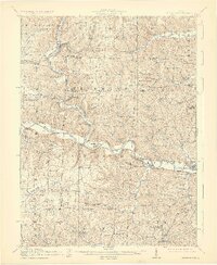
Editions of this 1915 Brinkhaven Map
2 editions found
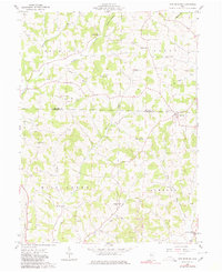
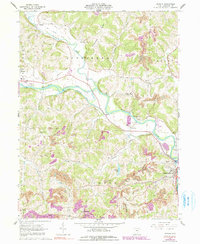
Historical Maps of Warsaw Through Time
29 maps found

1913 Brinkhaven
Coshocton County, OH
1915 Brinkhaven
Coshocton County, OH
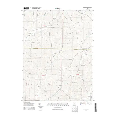
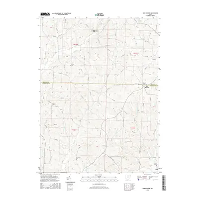
1961 New Bedford
Coshocton County, OH
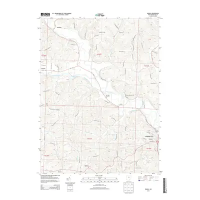
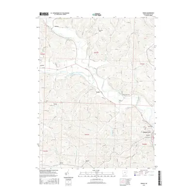
1962 Randle
Coshocton County, OH
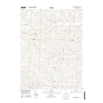
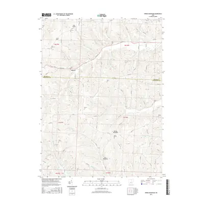
1962 Spring Mountain
Coshocton County, OH
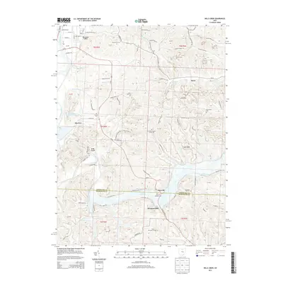
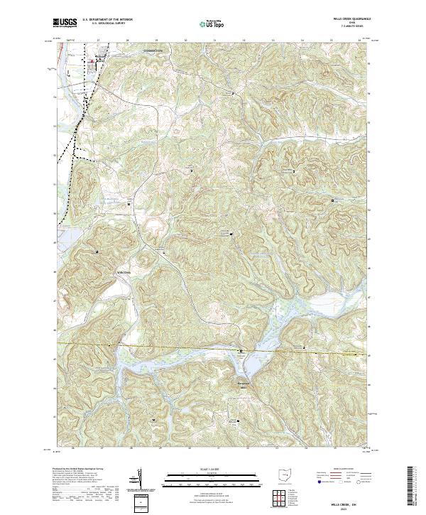
1962 Wills Creek
Coshocton County, OH
1994 New Bedford
Coshocton County, OH
1994 Randle
Coshocton County, OH
1994 Wills Creek
Coshocton County, OH
2010 New Bedford
Coshocton County, OH
2010 Randle
Coshocton County, OH
2010 Spring Mountain
Coshocton County, OH
2010 Wills Creek
Coshocton County, OH
2013 New Bedford
Coshocton County, OH
2013 Randle
Coshocton County, OH
2013 Spring Mountain
Coshocton County, OH
2013 Wills Creek
Coshocton County, OH
2016 New Bedford
Coshocton County, OH
2016 Randle
Coshocton County, OH
2016 Spring Mountain
Coshocton County, OH
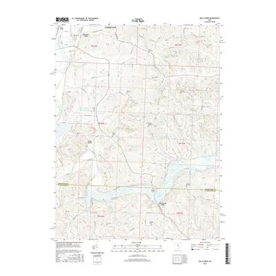
2016 Wills Creek
Coshocton County, OH
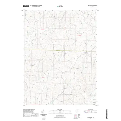
2019 New Bedford
Coshocton County, OH
2019 Randle
Coshocton County, OH
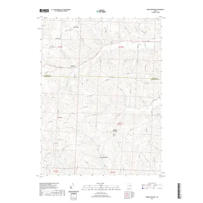
2019 Spring Mountain
Coshocton County, OH
2019 Wills Creek
Coshocton County, OH
2023 New Bedford
Coshocton County, OH
2023 Randle
Coshocton County, OH
2023 Spring Mountain
Coshocton County, OH
2023 Wills Creek
Coshocton County, OH
Featured Locations
- Warsaw, OH
- Nellie, OH
- Mohawk Village, Jefferson Township
- Newcastle, Newcastle Township
- Brinkhaven, Union Township