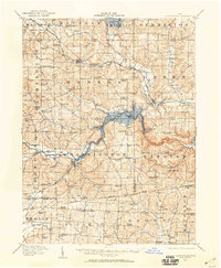
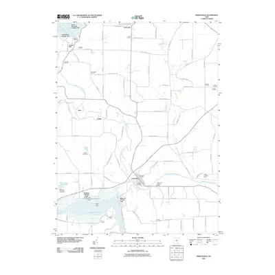
1912 Map of Perrysville
USGS Topo · Published 1959About this map
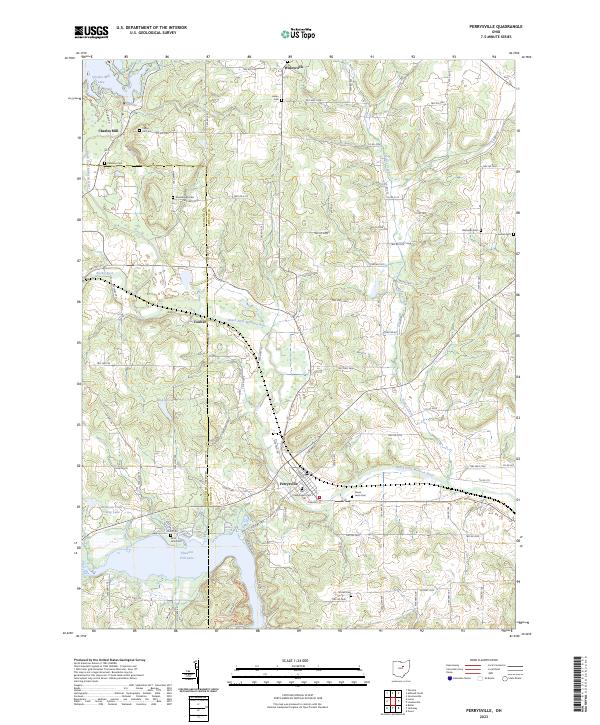
Perrysville and the surrounding townships of Hanover and Worthington define this landscape as it appeared shortly after the turn of the century. The map documents a dense network of rural one-room schoolhouses, such as Hazel Dell School, Hickory Ridge School, and Black Swamp School, which served a population still largely centered on agriculture and localized communities. The topography is shaped by the winding courses of the Mohican River and Clear Fork, which cut through the hills near the prominent Gatton Rock.
Find a feature on this map
100 named features on this map. Tap any name to fly to it.
Don’t see what you’re looking for? This feature index may not catch every label — zoom into the map to look around manually.
Map Details
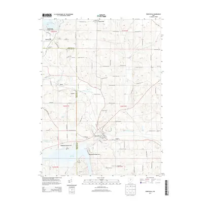
Editions of this 1912 Perrysville Map
This is the sole edition of this map. No revisions or reprints were ever made.
Historical Maps of Mansfield Through Time
9 maps found
1912 Perrysville
Ashland County, OH
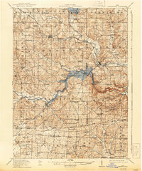
1915 Perrysville
Ashland County, OH
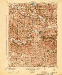
1944 Perrysville
Ashland County, OH
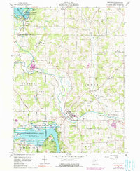
1961 Perrysville
Ashland County, OH
2010 Perrysville
Ashland County, OH
2013 Perrysville
Ashland County, OH
2016 Perrysville
Ashland County, OH
2019 Perrysville
Ashland County, OH
2023 Perrysville
Ashland County, OH