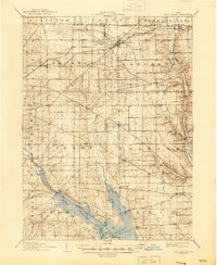
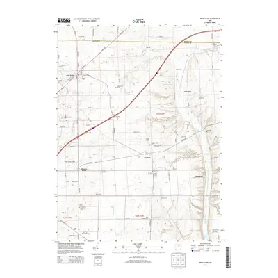
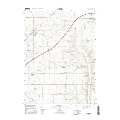
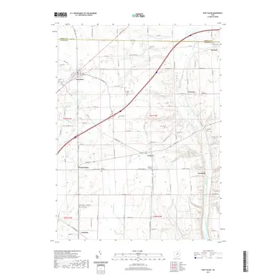
1908 Map of West Salem
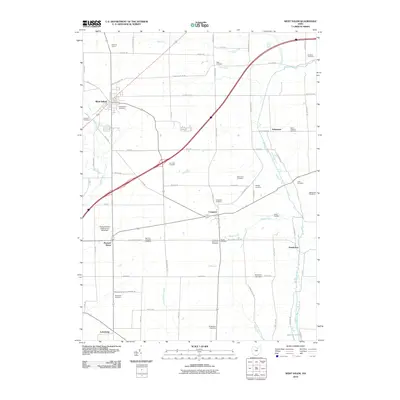
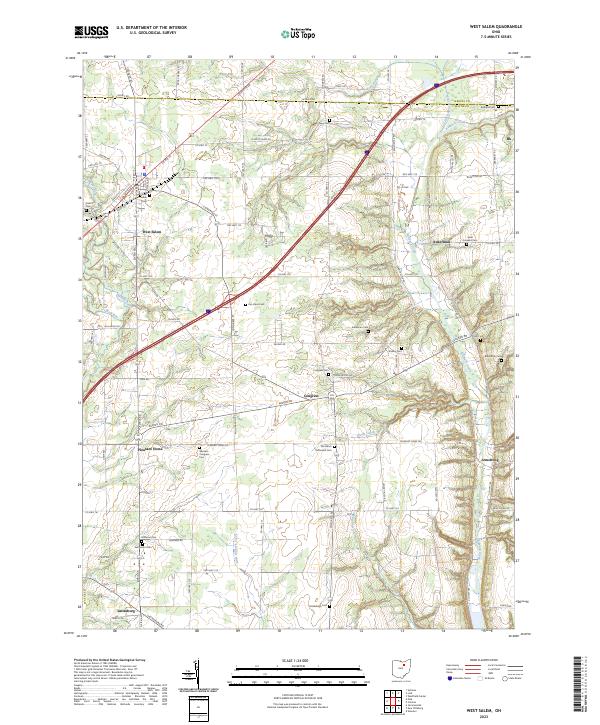
USGS Topo · Published 1946About this map
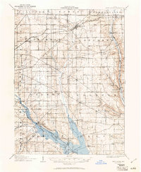
The South Boundary Line Connecticut Western Reserve cuts across the northern reaches of this map, marking a significant historical surveying boundary in North Central Ohio. This landscape is defined by the agricultural and rail development of the early 20th century, centered around the village of West Salem. The topography is shaped by the Muddy Fork and Jerome Fork, while the inclusion of the Mohicanville Reservoir in the southern sections reflects later hydrological modifications to the basin.
Find a feature on this map
57 named features on this map. Tap any name to fly to it.
Don’t see what you’re looking for? This feature index may not catch every label — zoom into the map to look around manually.
Map Details
Editions of this 1908 West Salem Map
This is the sole edition of this map. No revisions or reprints were ever made.
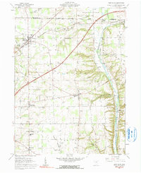
Historical Maps of West Salem Through Time
8 maps found
Featured Locations
- Burbank, OH
- Congress, Congress Township
- West Salem, Congress Township
- Polk, Jackson Township
- Jeromesville, Mohican Township