
1908 Map of Ashland
USGS Topo · Published 1908About this map
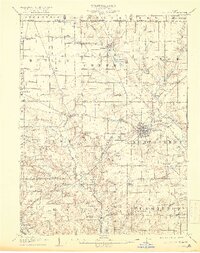
Ashland serves as the bustling hub of this 1908 topographical survey, showing a radial network of roads and rail lines connecting the county seat to surrounding agricultural townships. The Erie Railroad and Erie Electric lines cut across the landscape, illustrating the critical transportation corridors that fueled the region's early 20th-century growth. To the north, the Savannah Lakes sit near the village of Savannah, while the western edge reveals the distinct topography around Fleming Falls.
Find a feature on this map
61 named features on this map. Tap any name to fly to it.
Don’t see what you’re looking for? This feature index may not catch every label — zoom into the map to look around manually.
Map Details
Editions of this 1908 Ashland Map
4 editions found
Other maps of this area

1904 · Wellington
USGS Topo · 1:62,500

1906 · Wellington
USGS Topo · 1:62,500

1906 · West Salem
USGS Topo · 1:62,500

1908 · West Salem
USGS Topo · 1:62,500

1908 · New London
USGS Topo · 1:62,500

1912 · Loudonville
USGS Topo · 1:62,500

1912 · Perrysville
USGS Topo · 1:62,500

1914 · Loudonville
USGS Topo · 1:62,500

1915 · Norwalk
USGS Topo · 1:62,500

1915 · Crestline
USGS Topo · 1:62,500