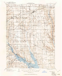
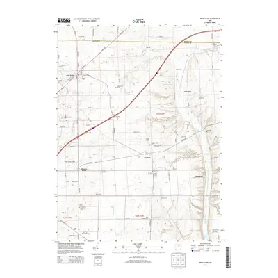
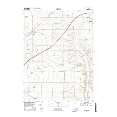
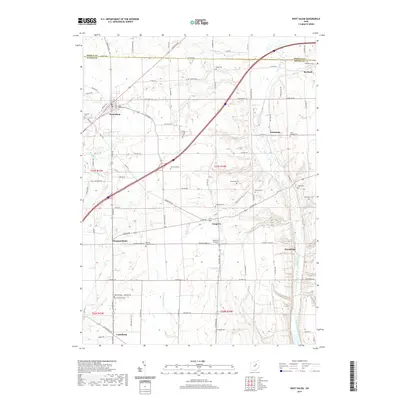
1906 Map of West Salem
USGS Topo · Published 1961About this map
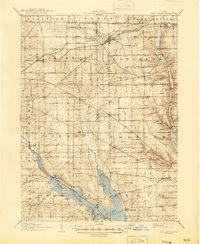
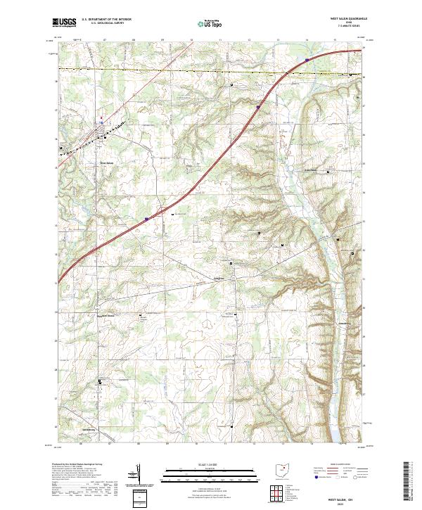
The Mohican River and its various forks define the rural landscape of this early twentieth-century survey, which details the agricultural heartland across Wayne, Ashland, and Medina Counties. While the topography was documented in 1905 and 1906, later updates illustrate the footprint of the Mohicanville Reservoir, which dramatically altered the drainage of the Jerome Fork Mohican River. The map captures several small rail-stop communities like Burbank Sta and Cedar Valley Sta, reflecting the importance of the Erie RR and Baltimore and Ohio RR to the local economy. Deeply rooted local history is visible in landmarks such as the Eight Square Ch and Plain Church, alongside numerous named settlements like Jeromesville and Polk that served as central nodes for the surrounding farming townships.
Find a feature on this map
54 named features on this map. Tap any name to fly to it.
Don’t see what you’re looking for? This feature index may not catch every label — zoom into the map to look around manually.
Map Details
Editions of this 1906 West Salem Map
This is the sole edition of this map. No revisions or reprints were ever made.
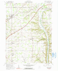
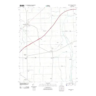
Historical Maps of West Salem Through Time
8 maps found
Featured Locations
- Burbank, OH
- Congress, Congress Township
- West Salem, Congress Township
- Polk, Jackson Township
- Jeromesville, Mohican Township