
Loading...
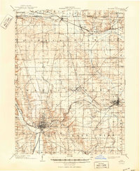
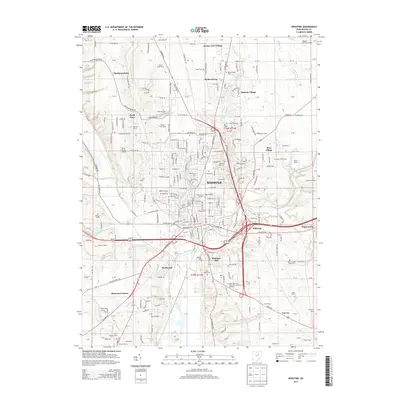
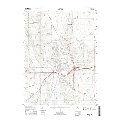
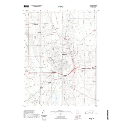
Loading map...1901 Map of Wooster
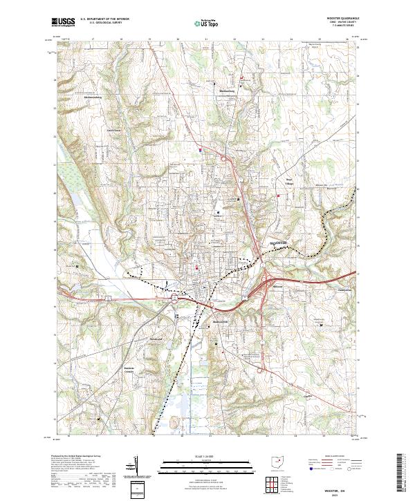
USGS Topo · Published 1961About this map
Wooster serves as the focal point of this turn-of-the-century landscape, characterized by a dense concentration of civic and educational institutions. The presence of the Wooster University, a Childrens Home, and the State Experiment Station reflects the town's role as a regional hub for Wayne County. The map captures a complex infrastructure of rail lines, including the Pennsylvania System and the Baltimore and Ohio RR, which intersect at industrial centers like Orrville.
Find a feature on this map
51 named features on this map. Tap any name to fly to it.
Don’t see what you’re looking for? This feature index may not catch every label — zoom into the map to look around manually.
Map Details
Date Portrayed1901
Date Published1961
PublisherU.S. Geological Survey
Map TypeTopographic
Scale1:62,500
Physical Dimensions17.1 x 20.8 inches
Editions of this 1901 Wooster Map
This is the sole edition of this map. No revisions or reprints were ever made.
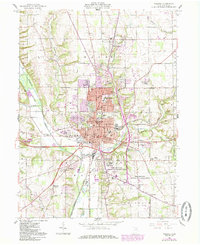
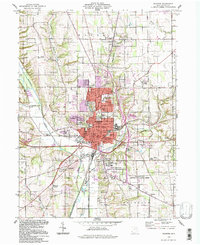
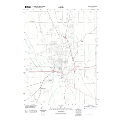
Historical Maps of Wooster Through Time
9 maps found
Featured Locations
Source Details
SourceU.S. Geological Survey
CopyrightPublic Domain