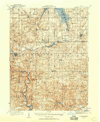
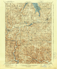
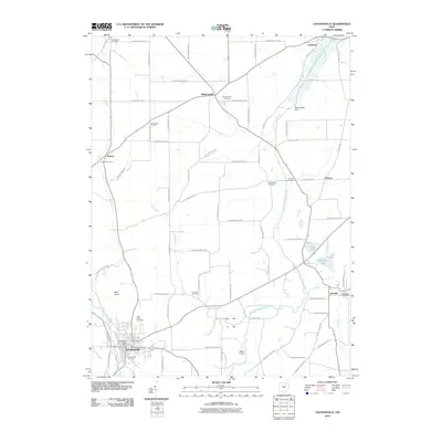
1912 Map of Loudonville
USGS Topo · Published 1958About this map
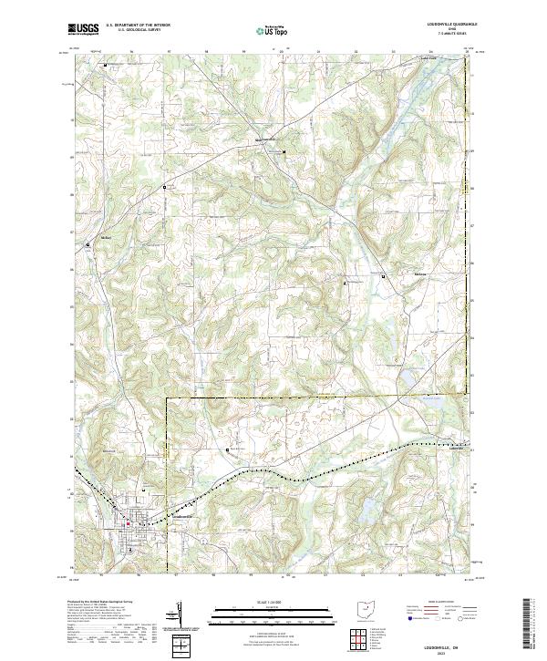
The Mohican River and its forks define the landscape of this 1912 survey, revealing the complex township boundaries of Ashland, Wayne, Holmes, and Knox Counties. The Pennsylvania System railroad serves as the primary industrial artery, connecting rural stations like Shreve and Loudonville to the wider region. An important historical landmark, the Greenville Treaty Line, cuts across the southern portion of the map, marking the legacy of frontier-era negotiations that shaped early Ohio settlement patterns.
Find a feature on this map
79 named features on this map. Tap any name to fly to it.
Don’t see what you’re looking for? This feature index may not catch every label — zoom into the map to look around manually.
Map Details
Editions of this 1912 Loudonville Map
This is the sole edition of this map. No revisions or reprints were ever made.
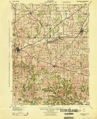
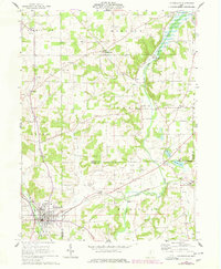
Historical Maps of Loudonville Through Time
9 maps found
1912 Loudonville
Ashland County, OH
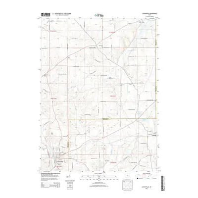
1914 Loudonville
Ashland County, OH
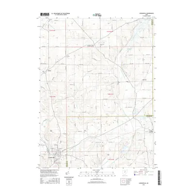
1943 Loudonville
Ashland County, OH
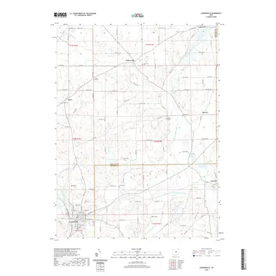
1961 Loudonville
Ashland County, OH
2010 Loudonville
Ashland County, OH
2013 Loudonville
Ashland County, OH
2016 Loudonville
Ashland County, OH
2019 Loudonville
Ashland County, OH
2023 Loudonville
Ashland County, OH