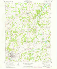
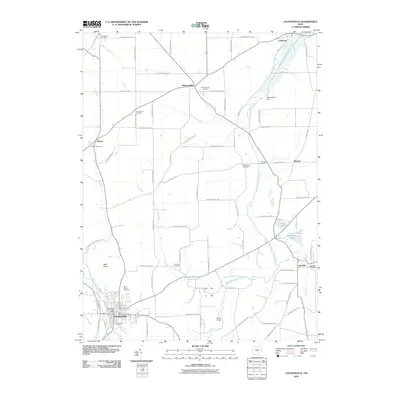
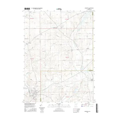
1961 Map of Loudonville
USGS Topo · Published 1978About this map
Loudonville anchors the southwest corner of this landscape where the Mohican River and Pennsylvania railroad line intersect. The terrain is defined by the valley of the Lake Fork river, which is managed by the Mohicanville Dam in the north. This 1961 survey, updated with 1976 revisions, reveals a rural economy heavily reliant on natural resources, evidenced by numerous Gas Wells, Oil Wells, and Gravel Pits scattered across townships like Washington and Vermillion.
Find a feature on this map
38 named features on this map. Tap any name to fly to it.
Don’t see what you’re looking for? This feature index may not catch every label — zoom into the map to look around manually.
Map Details
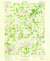
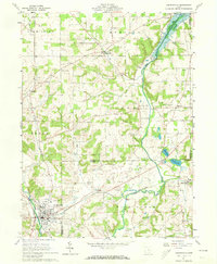
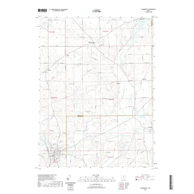
Editions of this 1961 Loudonville Map
3 editions found
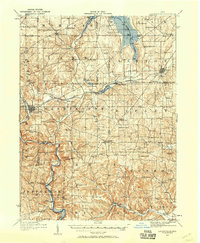
Historical Maps of Loudonville Through Time
9 maps found
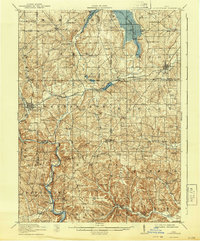
1912 Loudonville
Ashland County, OH
1914 Loudonville
Ashland County, OH
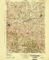
1943 Loudonville
Ashland County, OH
1961 Loudonville
Ashland County, OH
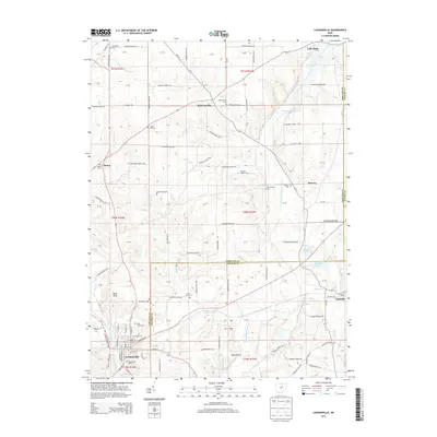
2010 Loudonville
Ashland County, OH
2013 Loudonville
Ashland County, OH
2016 Loudonville
Ashland County, OH
2019 Loudonville
Ashland County, OH
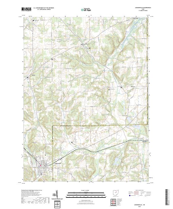
2023 Loudonville
Ashland County, OH