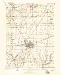
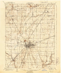
1950 Map of Marion
USGS Topo · Published 1950About this map
Marion and Columbus anchor this mid-century survey of central Ohio, revealing a landscape defined by an exceptionally dense rail-and-river network. The map captures the region before the expansion of the interstate highway system, showing the established routes of the Pennsylvania RR and New York Central RR as they connect industrial centers like Mansfield and Newark. To the west, Indian Lake serves as a prominent water feature, while the southern reaches show the early footprint of Lockbourne Air Force Base.
Find a feature on this map
335 named features on this map. Tap any name to fly to it.
Don’t see what you’re looking for? This feature index may not catch every label — zoom into the map to look around manually.
Map Details
Editions of this 1950 Marion Map
This is the sole edition of this map. No revisions or reprints were ever made.
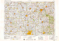
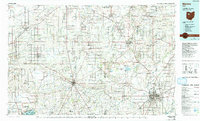
Historical Maps of Columbus Through Time
6 maps found