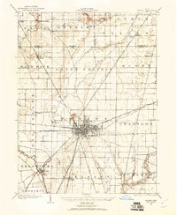
1903 Map of Marion
USGS Topo · Published 1961About this map
The railroad hub of Marion dominates the central portion of this 1903 survey, showing an intricate web of rail lines radiating in every direction. As a critical junction in north-central Ohio, the city is bisected by major corridors including the Hocking Valley, Sandusky and Columbus System Pennsylvania, and the St Louis and Chicago. These lines connect the urban center to outlying agrarian settlements like Greencamp and Morral, while an Electric RR provides early 20th-century interurban transit through the Little Scioto River valley.
Find a feature on this map
47 named features on this map. Tap any name to fly to it.
Don’t see what you’re looking for? This feature index may not catch every label — zoom into the map to look around manually.
Map Details
Editions of this 1903 Marion Map
This is the sole edition of this map. No revisions or reprints were ever made.
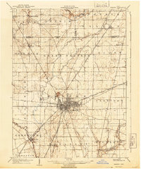
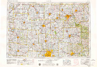
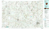
Historical Maps of Marion Through Time
6 maps found


Featured Locations
- Marion, OH
- Morral, Salt Rock Township
- Harpster, Pitt Township
- Green Camp, Green Camp Township
- Big Island, Big Island Township