
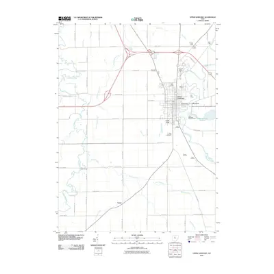
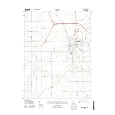
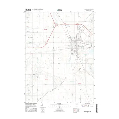
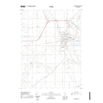
1907 Map of Upper Sandusky
USGS Topo · Published 1943About this map
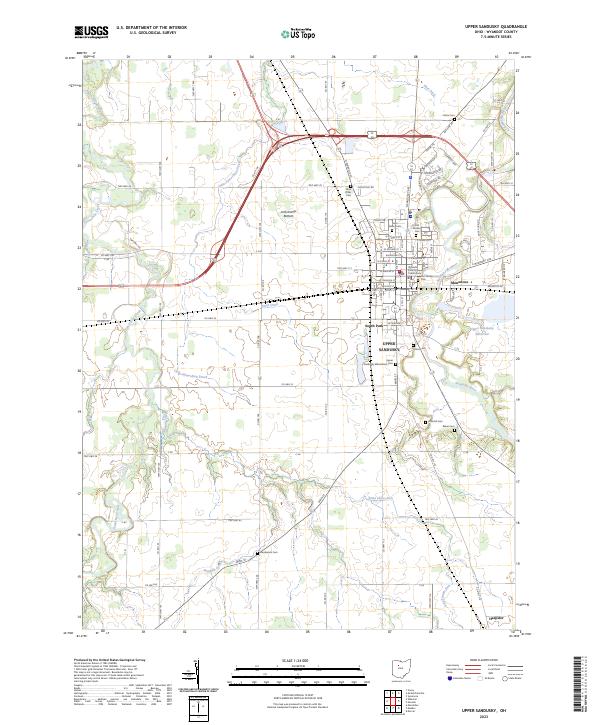
Upper Sandusky serves as the focal point of this Wyandot County landscape, situated at a major convergence of the Hocking Valley RR and the Pennsylvania System. The terrain is defined by the winding course of the Sandusky River and its numerous tributaries, including Tymochtee Creek and Little Tymochtee Creek. This early-century survey reveals a highly organized rural infrastructure, dotted with one-room schoolhouses like Slippery Point School and Texas School, alongside community centers such as Grace Chapel. Significant industrial and civic landmarks are noted, including the Indian Mill on the river and the county Infirmary. The map also captures the intricate network of drainage ditches, such as Roughman Ditch and Stahl Ditch, which were essential for managing the low-lying agricultural lands across townships like Richland and Salem.
Find a feature on this map
71 named features on this map. Tap any name to fly to it.
Don’t see what you’re looking for? This feature index may not catch every label — zoom into the map to look around manually.
Map Details
Editions of this 1907 Upper Sandusky Map
This is the sole edition of this map. No revisions or reprints were ever made.
Historical Maps of Upper Sandusky Through Time
7 maps found

Featured Locations
- Upper Sandusky, OH
- Carey, Crawford Township
- Crawford, Crawford Township
- Wharton, Richland Township
- Tymochtee, Tymochtee Township